The heights of Martigny by the Château de la Bâtiaz
1920 Martigny
Valais | Switzerland
Winter
Watercourse
City
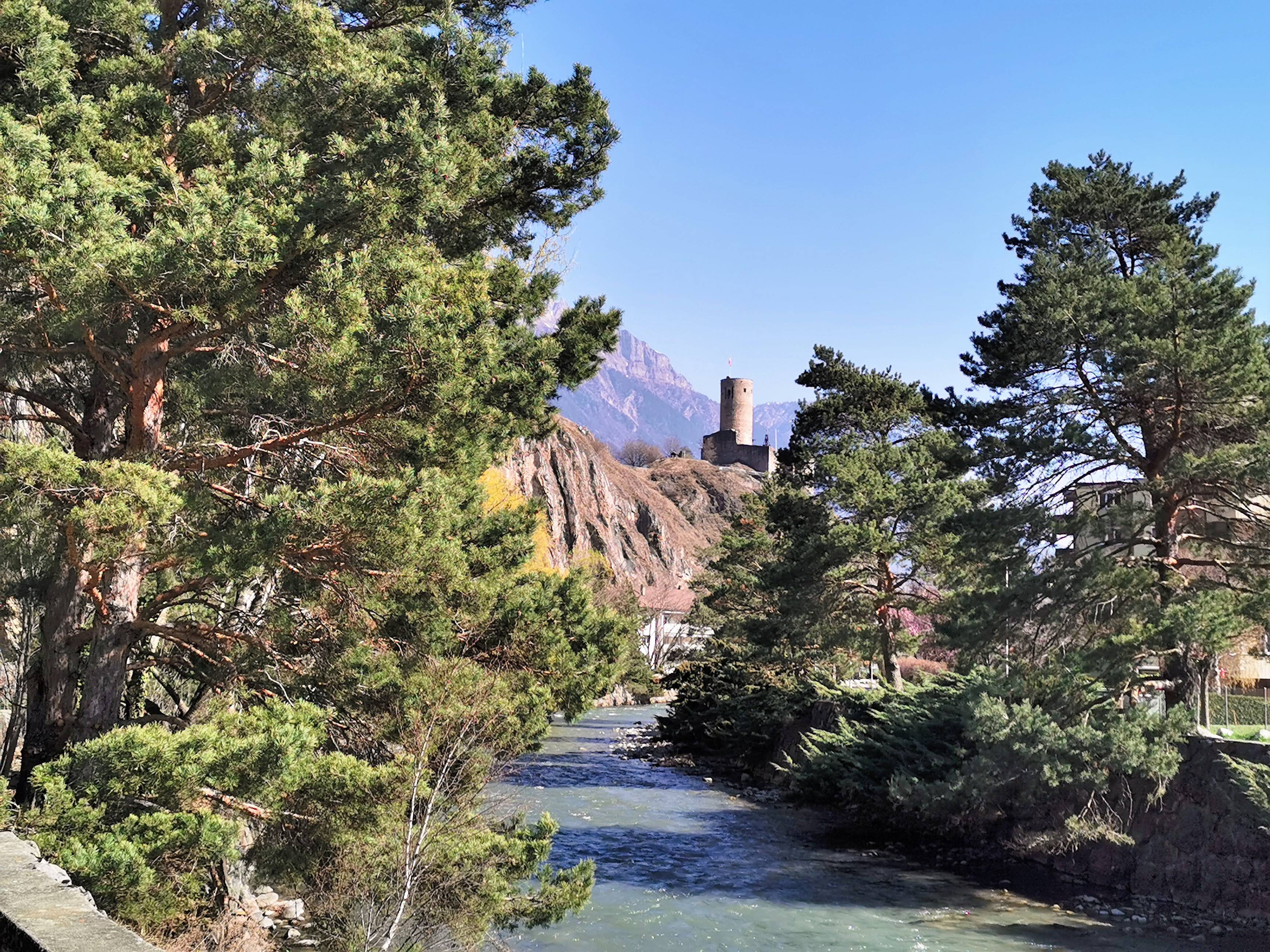
This walk will take you to the heights of Martigny, where you will have a beautiful panoramic view of the city, the Rhone plain and several peaks such as the Catogne or the Chavalard.
We started this walk from the free parking of La Bâtiaz (max. 5h, except Sundays and holidays. Don't forget to put your parking disc.), but you can also arrive by public transport, as the bus stop La Bâtiaz is only a few meters away.
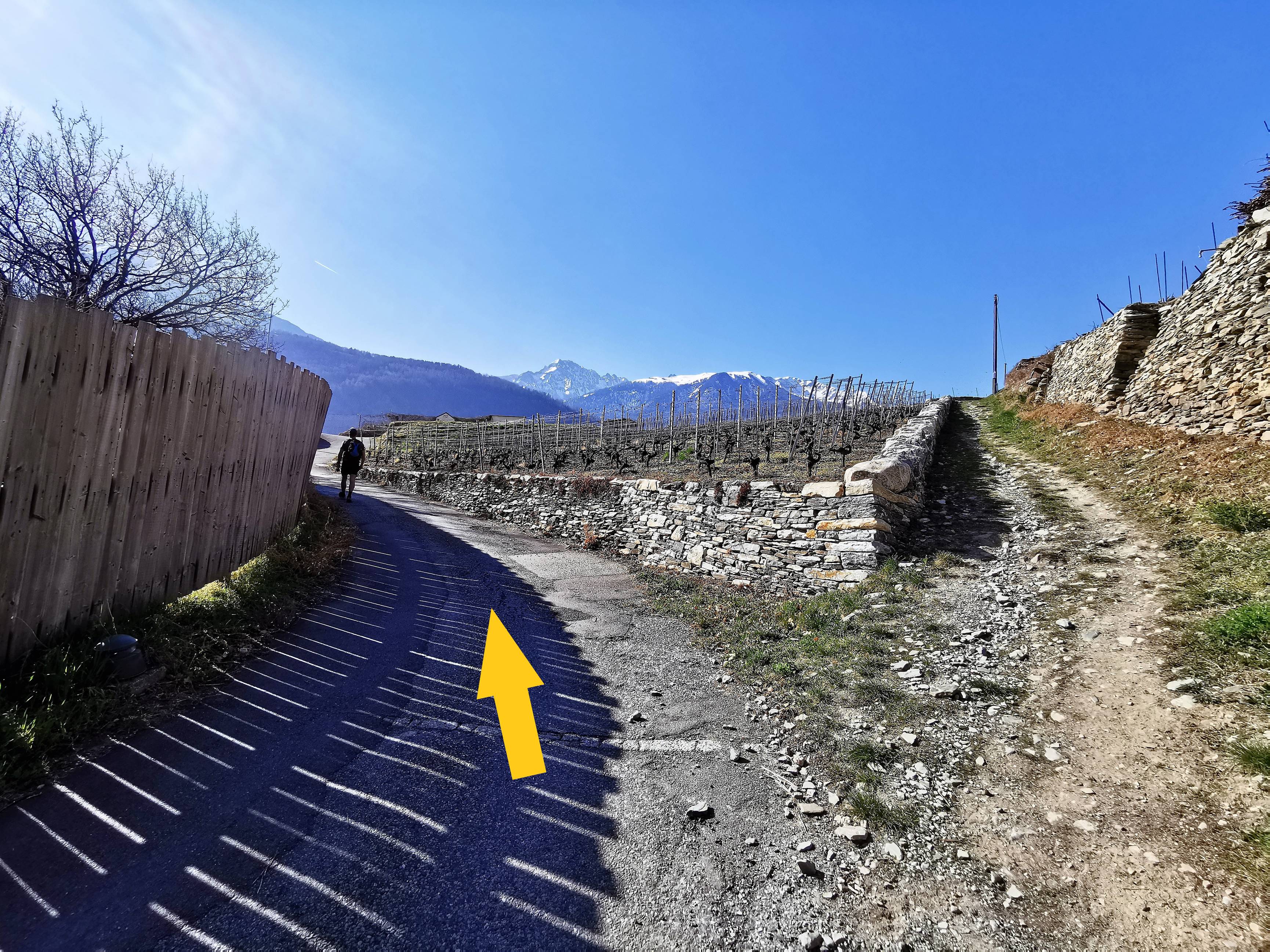
When you leave the parking, follow the Rue de la Bâtiaz. After about 200m, you will turn right onto Chemin du Château, where you will start the ascent. After about 400m, there will be a possibility to take a path on the left, but, as the slope is steeper, we decided to go straight on, staying on the asphalt road. Once you arrive more or less at the height of the castle (photo n°1), you will continue straight on until the fork, where you will turn left (photo n°2). This will bring you to a nice spot for a selfie with the castle in the background (photo n°3).
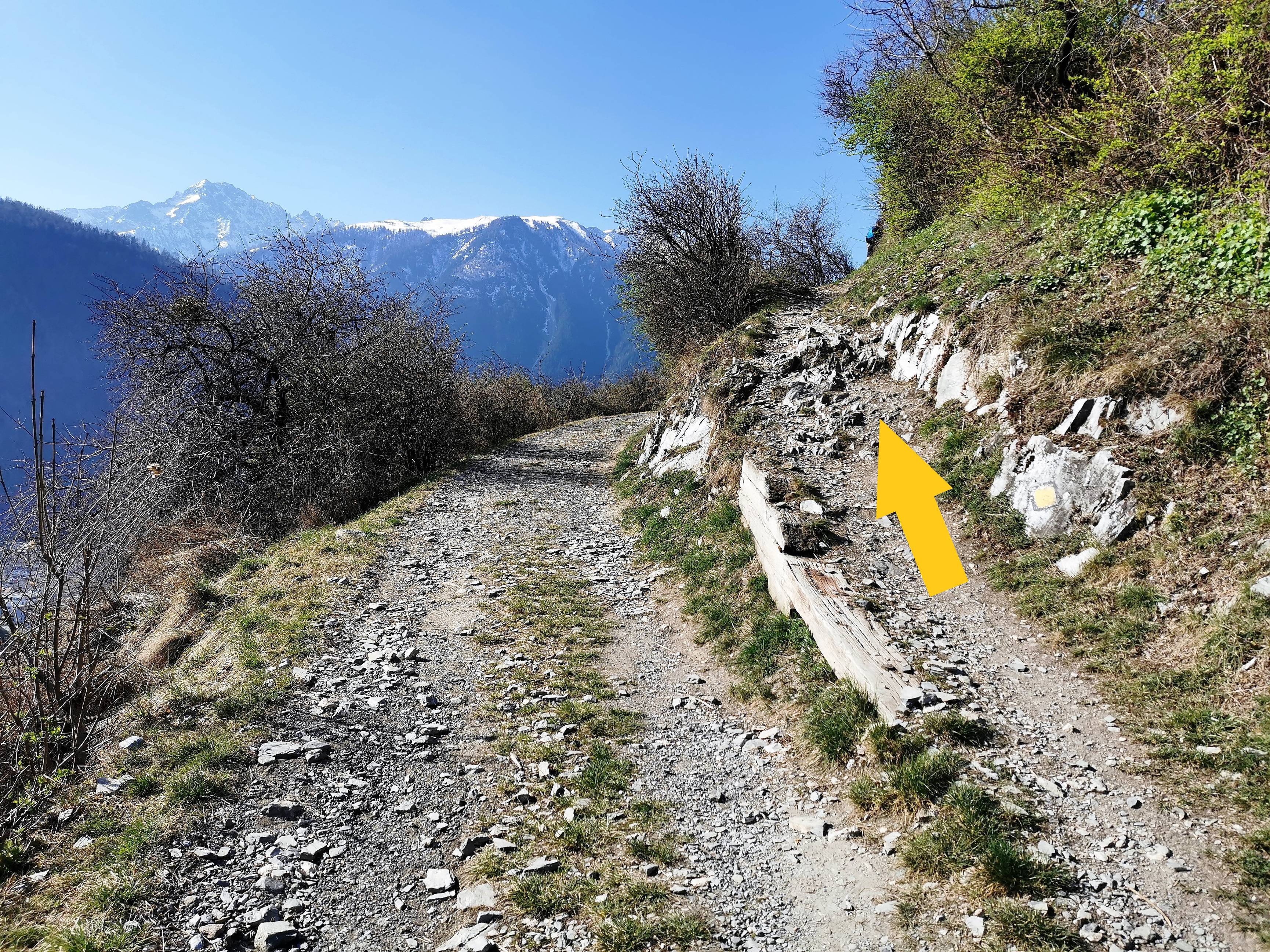
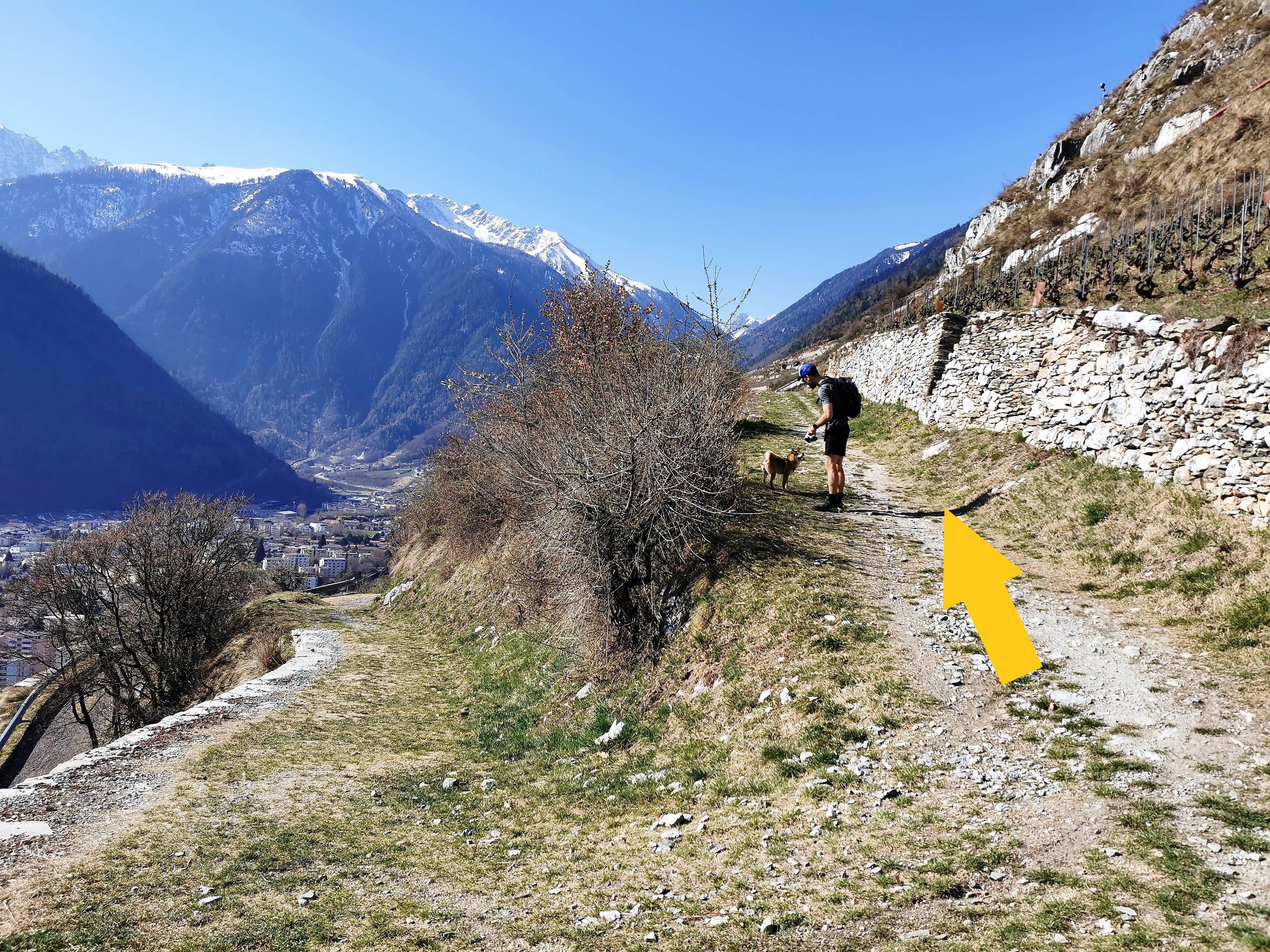
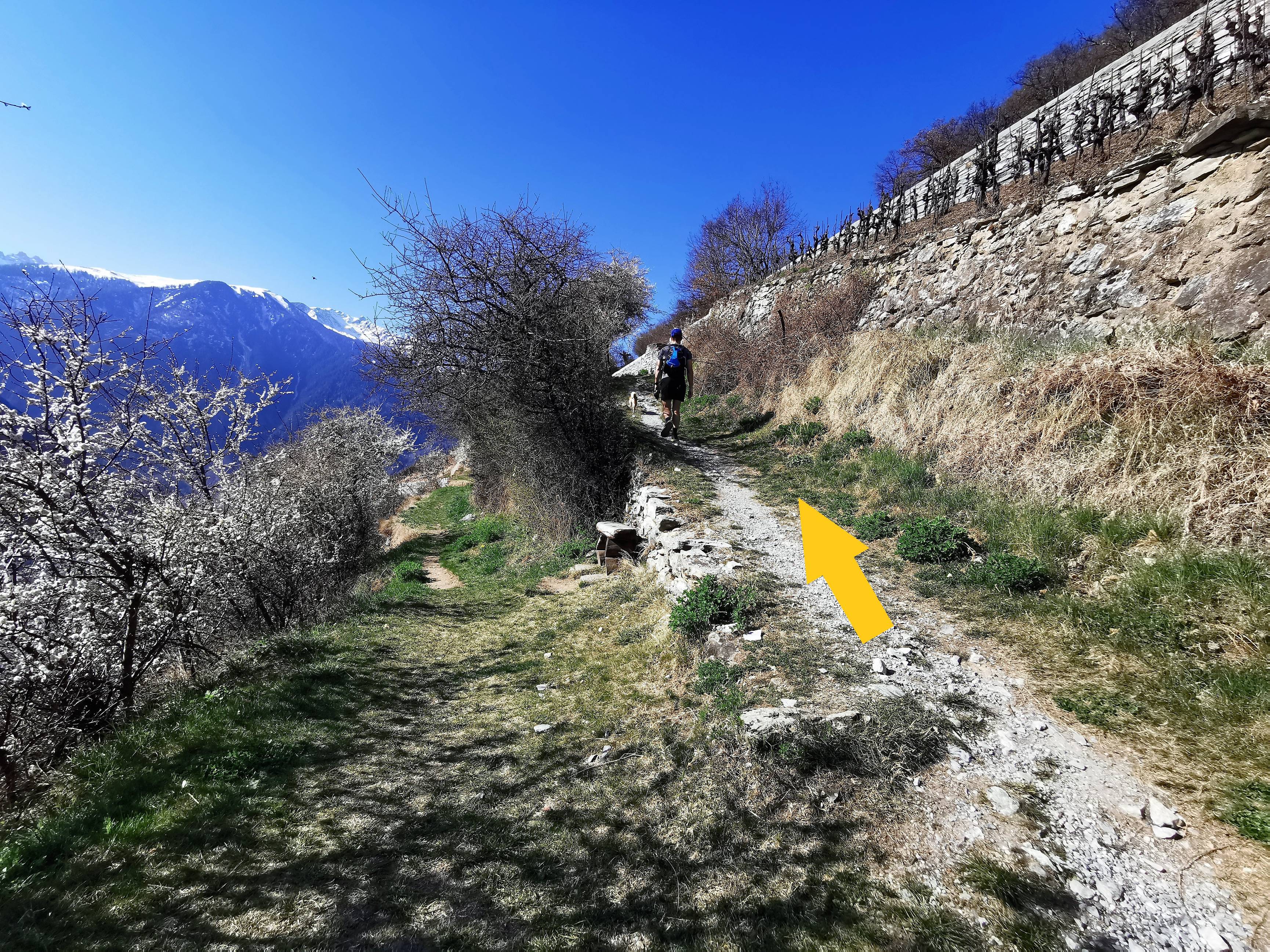
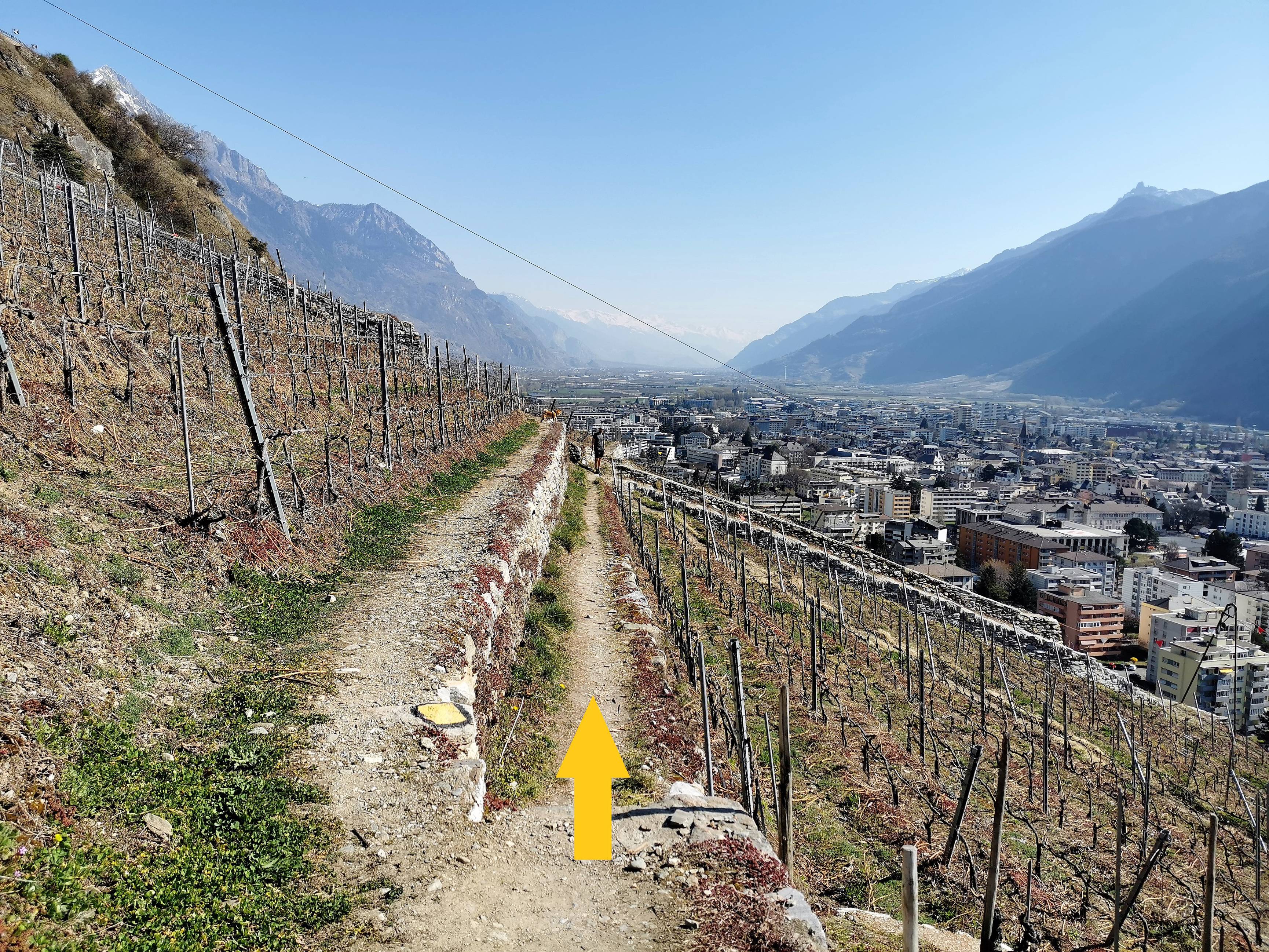
Continue on this same road. Twice, there will be an intersection, you will have to turn right each time (photos n°4 and n°5). At the end of the path, you will arrive at a road, you will have to cross it (photo n°7). Once on the way, continue until a crossroads and go on your right (photo n°8). Further on, you will arrive on a tarred road where you will have the choice to go straight or to go down by the left path, choose this one (photo n°9).
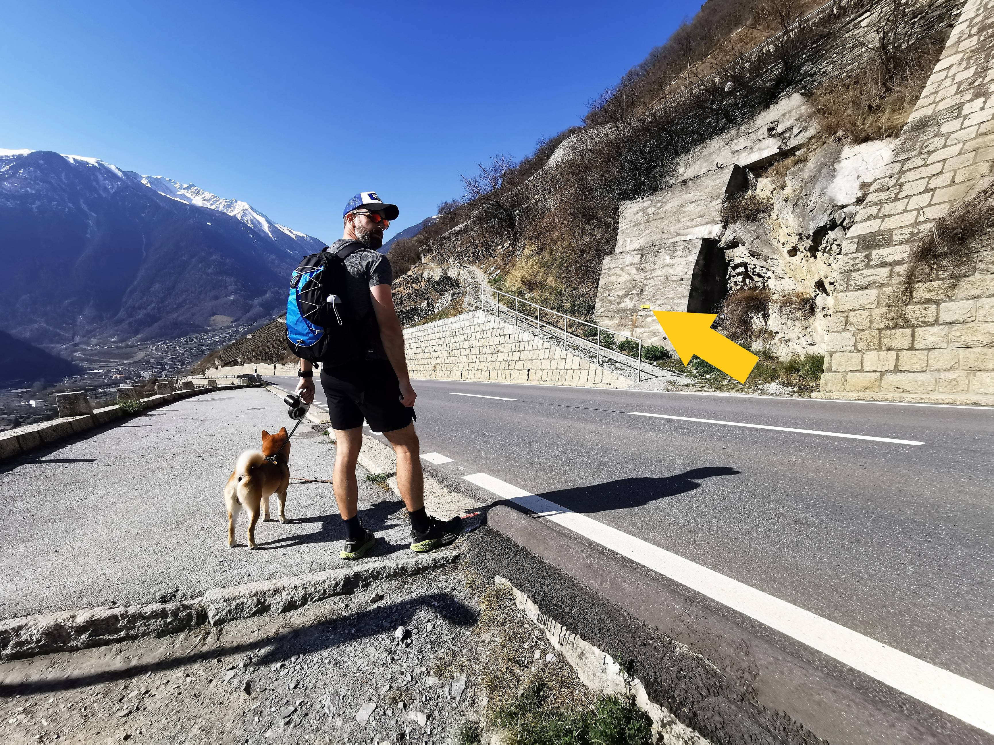
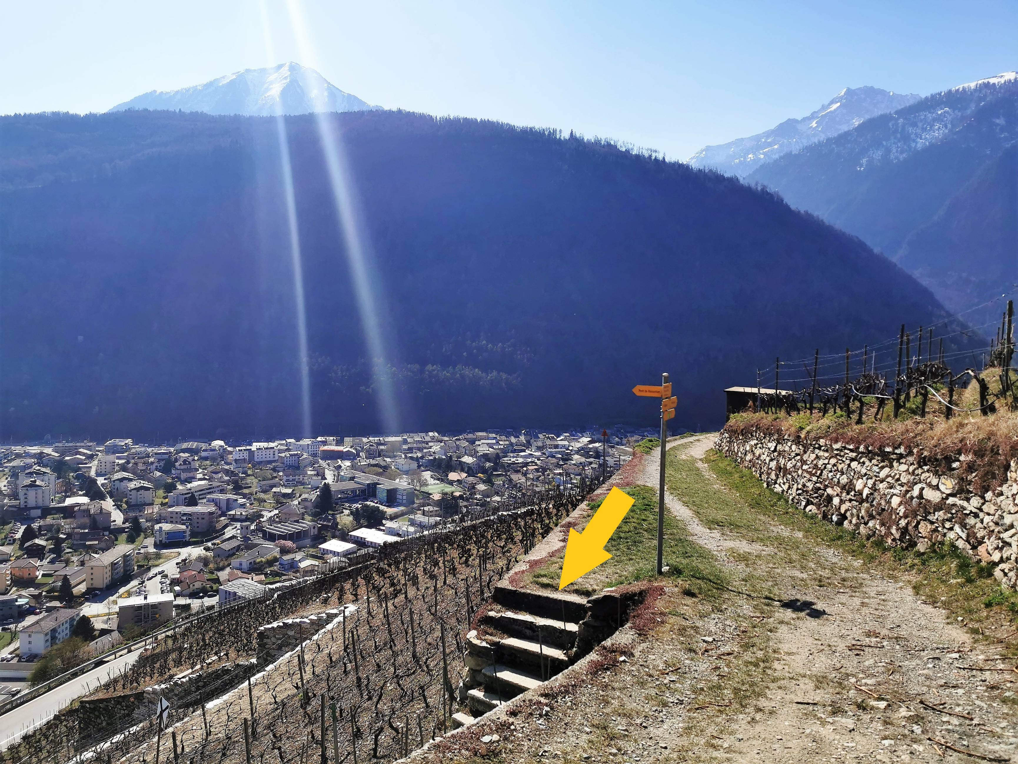
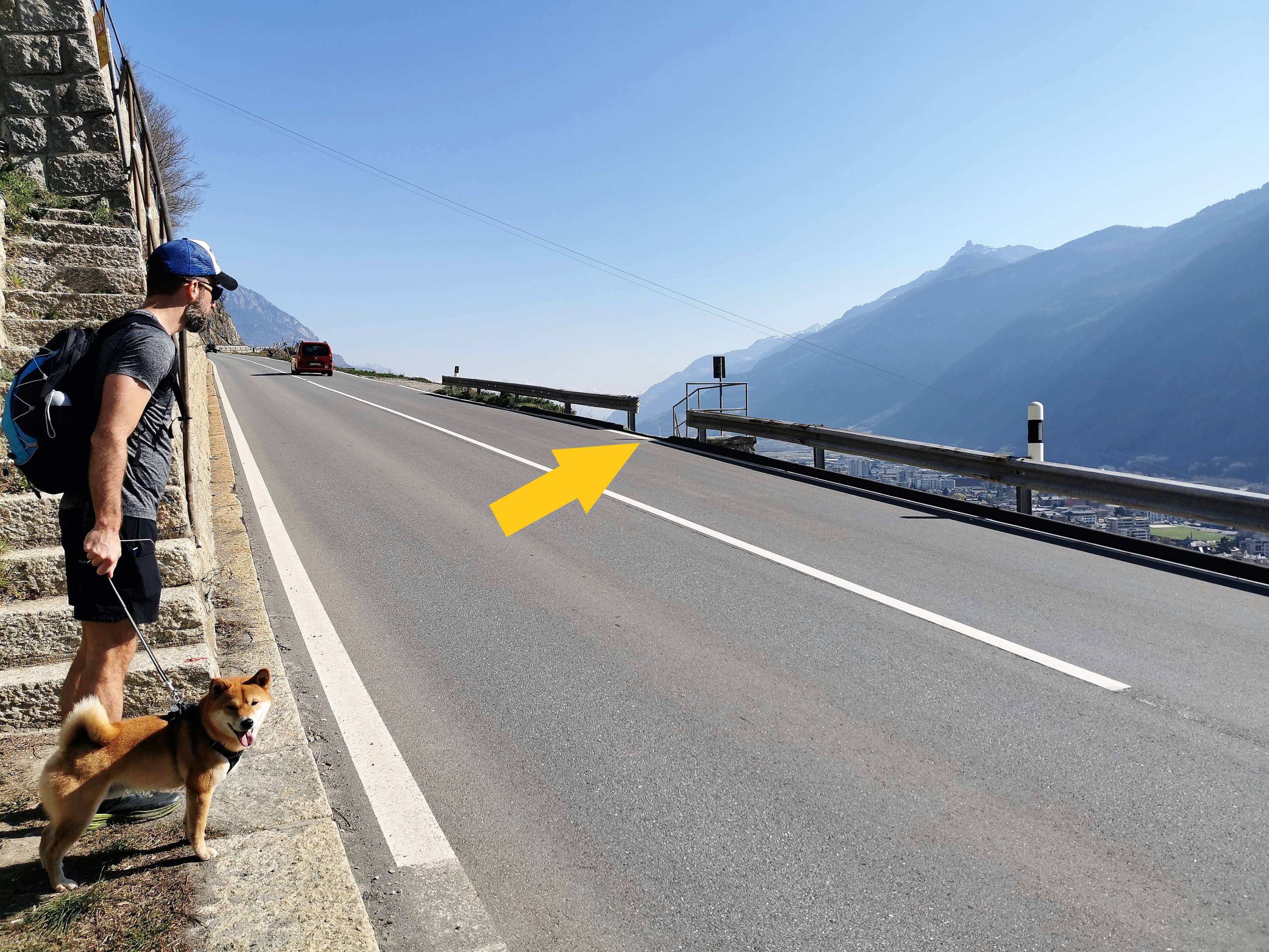
Stay on this road and, at the yellow sign "Pont de Rossettan" (photo n°10), take the stairs and go down until you reach the road. Cross it (photo n°11).
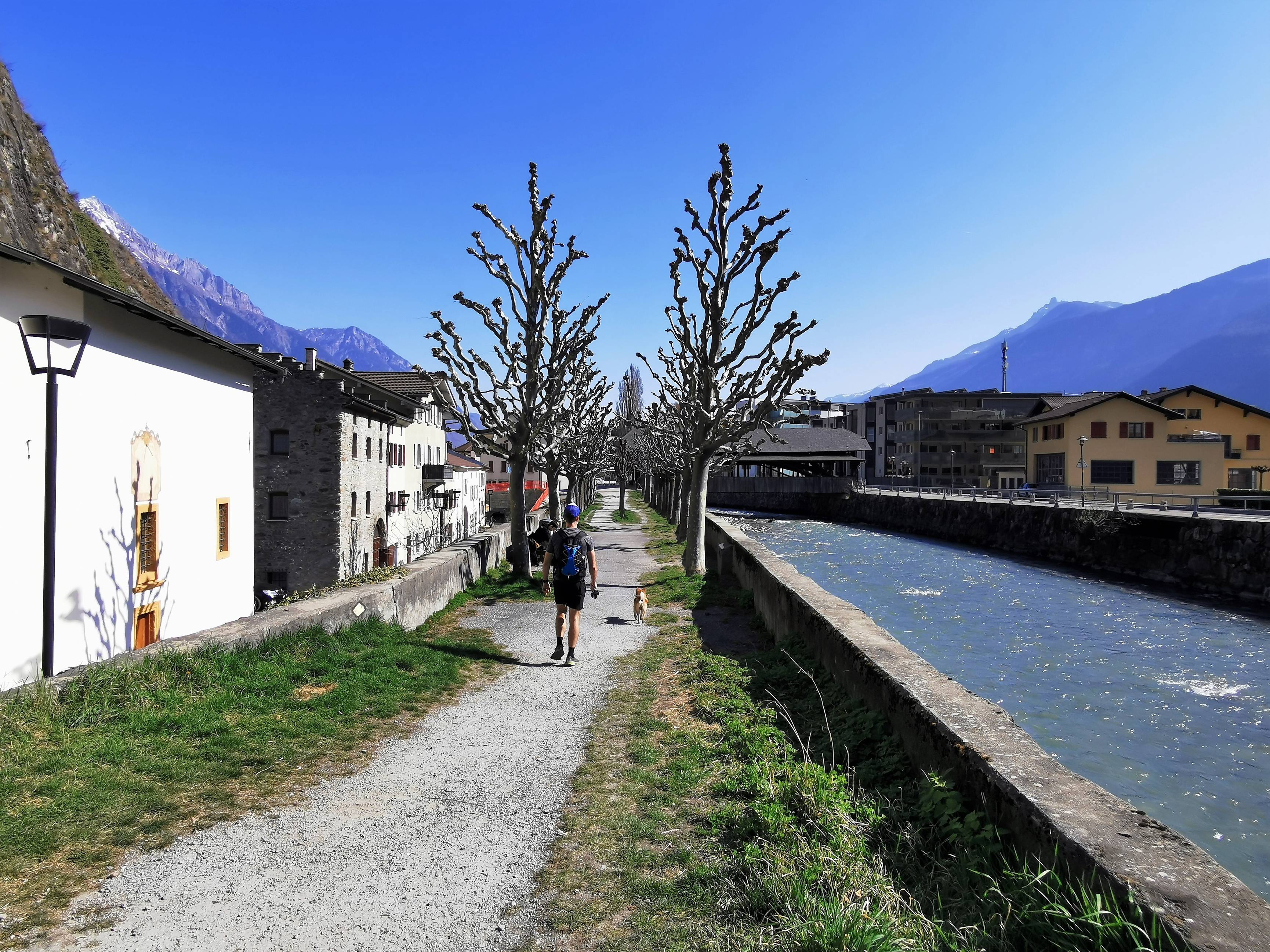
From there, you will cross the vineyards by small paths and stairs that will lead you to the edge of the Dranse. Look carefully at the indications (triangle or yellow arrow) on the ground and, if necessary, refer to photos n°12 and 13. Once you arrive at the river bank, go direction the castle. Continue straight ahead until you reach the Bâtiaz Bridge (photo n°15), then turn left to reach the parking area.
-

-
-
-


-
-
-
-

-
-
-
-


-
-
-
General info
Itinerary proposed by: dogfriendlyswiss
Member nearby: Relais du St-Bernard
Circular Itinerary: Yes
Duration/length/height: 1h21 / 4.19 km / +208 m -208 m
Best period: April-October
Public transport nearby : Yes
Parking nearby : Yes
Restaurant nearby: Yes
Stroller accessible: No
Picnic area: No
Bench: Yes
Didactic panel: Yes
Viewpoint: Yes
Others: Walk practicable all year round depending on the weather conditions (beware of black ice during winter).
Info for the dog
Poop bag dispenser: Yes, at several points along the way
Water (for the dog) on the way: Yes, in the parking at the beginning
Itinerary with shaded area: No, extremely limited
Indication about the dog (signs or notices visible on site): Sign along the Dranse "Obligation to keep on a leash"
Other: /
Did you know?
Martigny was once called "Octodure". This city has many Roman vestiges, where Julius Caesar fought.
What we particularly liked
The panorama, the end of the route along the Dranse and also the multiple possibilities to extend the walk. You can go up to the Sommet des Vignes, go down to Plan-Cerisier and then come back along the Dranse.
What we liked least
On two occasions we had to cross busy roads and there is not much shade in case of high temperatures.