Chemin de la Dent de Vaulion
1342 L’Abbaye
Vaud | Switzerland
Forest
Lake
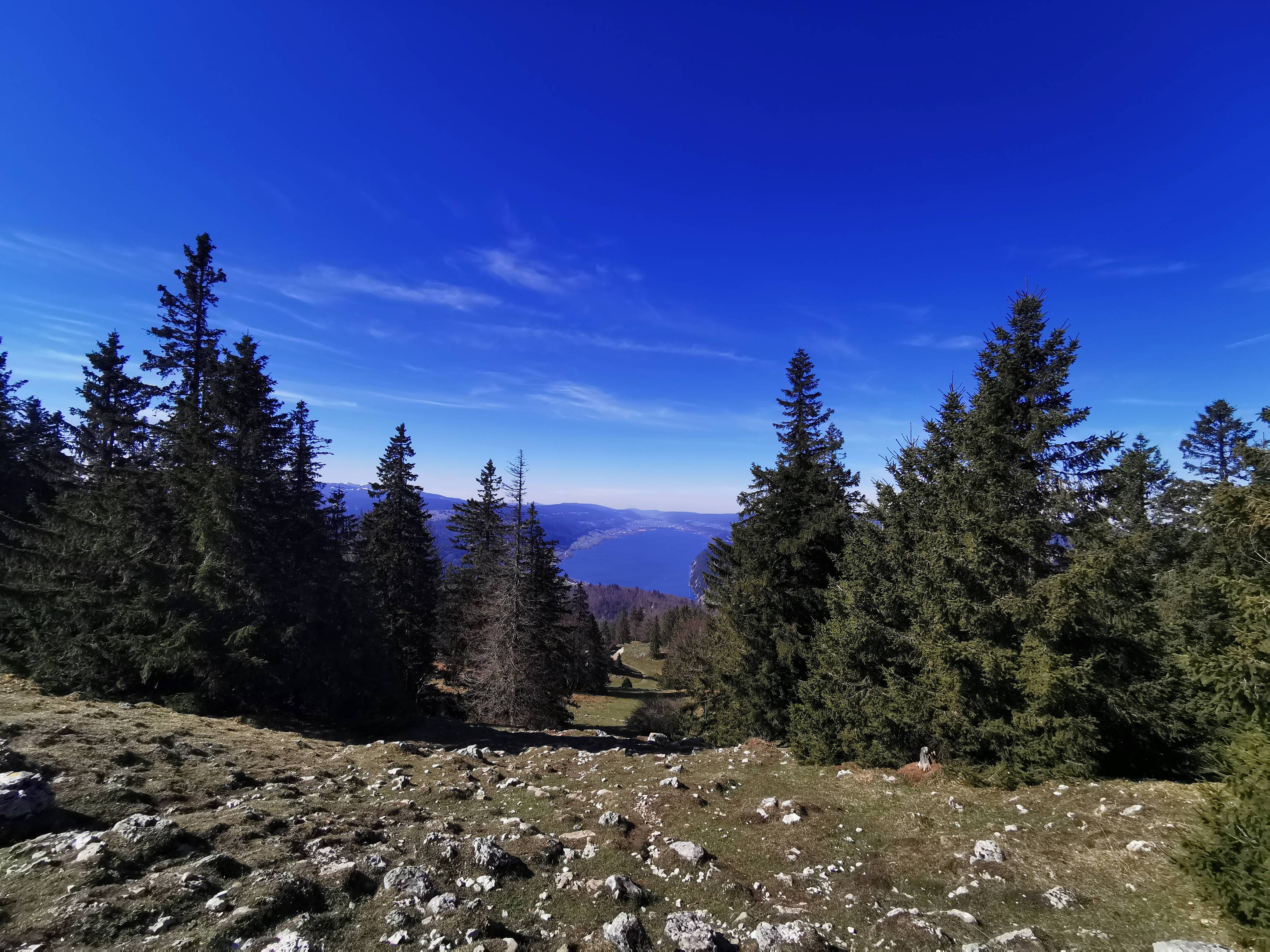
This circular walk (route 117 - Chemin de la Dent de Vaulion on SwitzerlandMobility) will bring you from the edge of the lake of Joux to the summit of the Dent de Vaulion (1483m). Once you reach the top, a 360° panoramic view of the Alps awaits you. Moreover, depending on the weather conditions, you will also be able to admire up to 8 lakes such as Lake Geneva, Lake Joux or even the Lake of Rousses in neighboring France.
Our route starts from the village of Le Pont where you will find various parking places. We have opted for a free parking just before the train station, when you arrive from Vallorbe. You can also reach the start by train or bus (stop Le Pont, Gare).
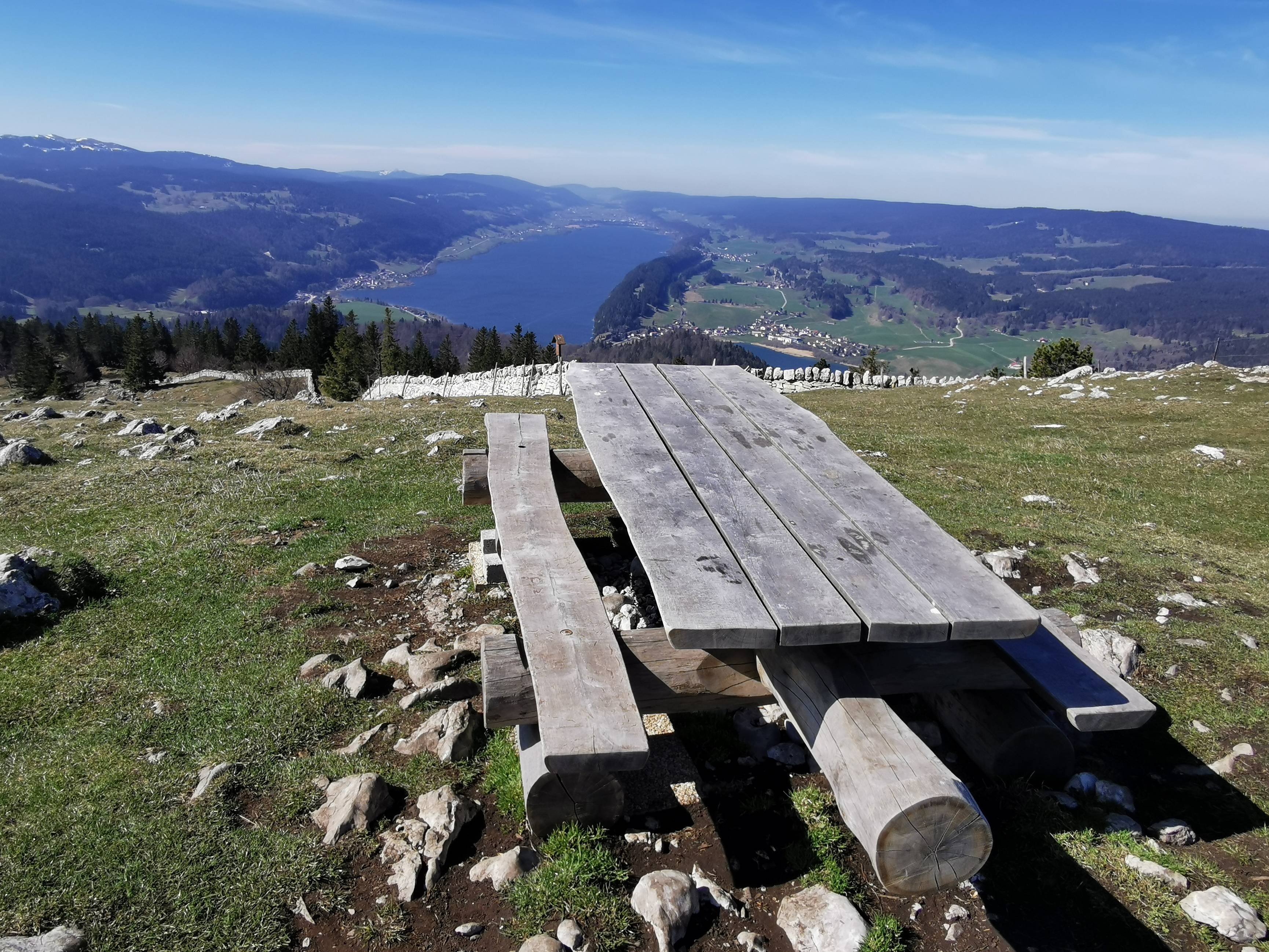
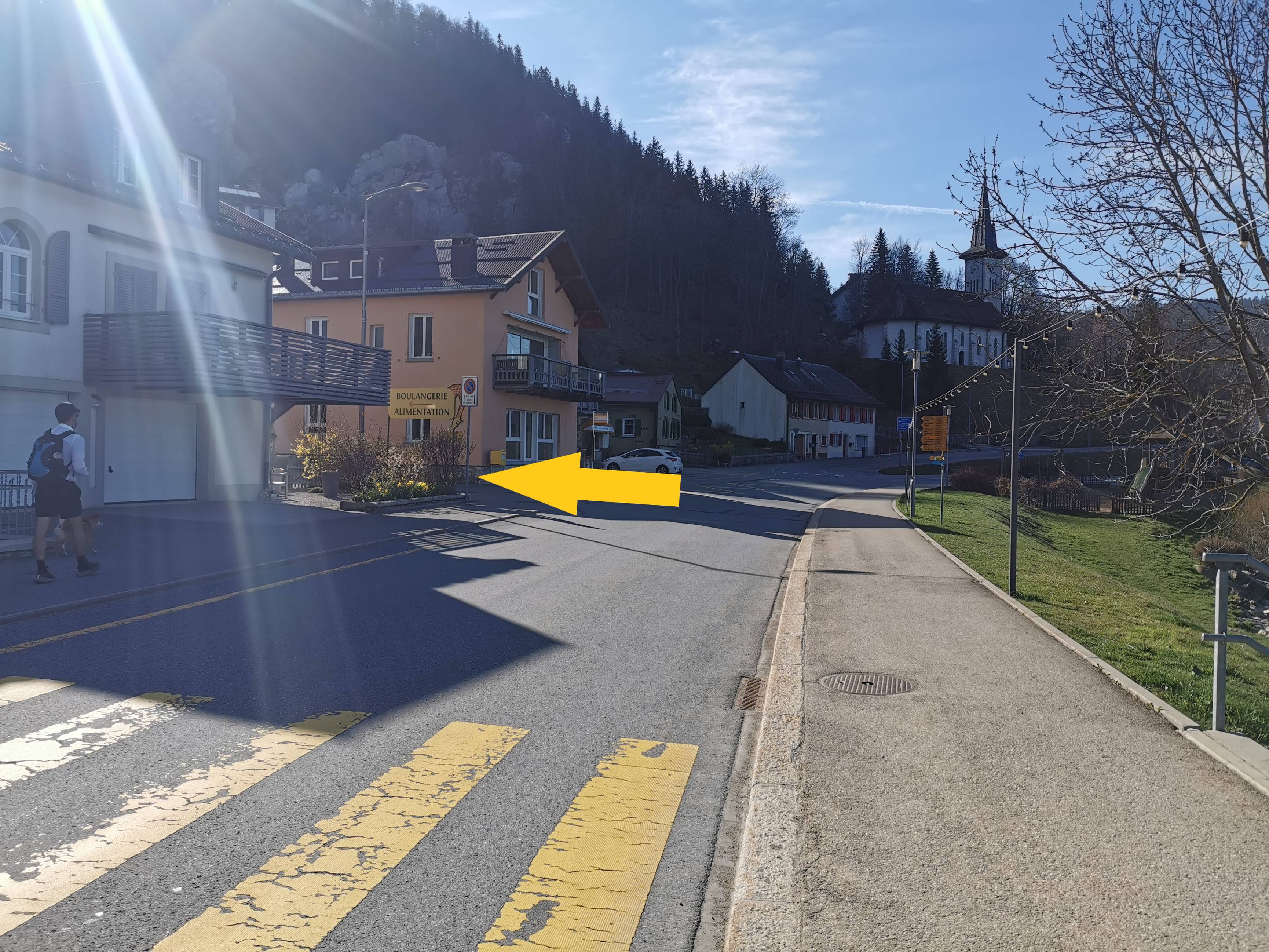
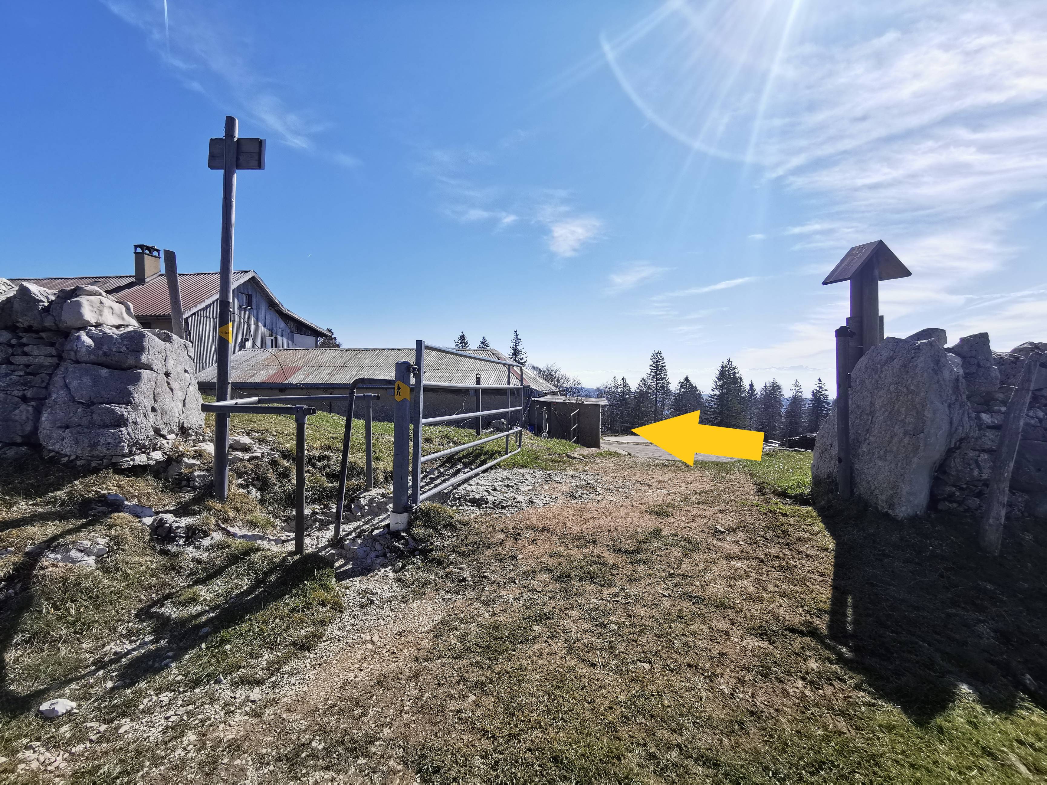
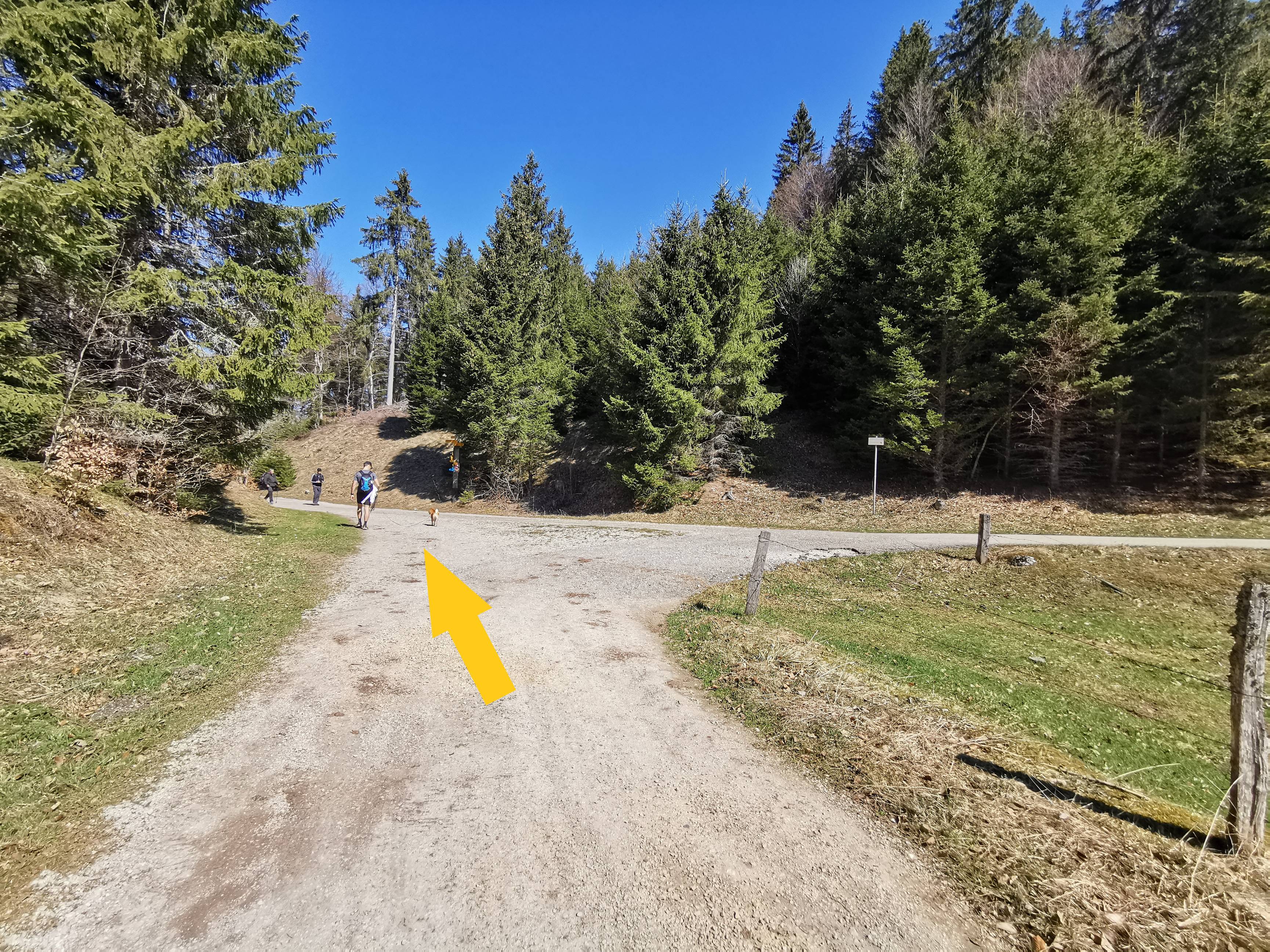
When you leave the parking area, walk along the station, towards the lake and cross the road at the first crosswalk. Continue along the lake of Joux for about 600m. You will then find yellow signs indicating various itineraries, follow "Dent de Vaulion" (photo n°2). Keep going on this small street. Once at the top, you will cross the road to take a forest path (photo n°3). At the top of this one, continue straight ahead. Follow this road for about 400m until you see yellow signs. Go towards "Dent de Vaulion". Cross this pasture (photo n°4). At the turnstile, turn right and follow the asphalt road for 350m. At the intersection (photo n°5), continue on the left way. From there, there will be a climb of about 2km for 230m of elevation gain. Don't hesitate to stop for a selfie with the lake of Joux in the background (picture n°6). When you arrive at the Petite Dent, you will have to make 2 more small efforts: about 2x 400m for 70m of elevation gain. The first ascent (photo n°7) will bring you to the Chalet de la Dent de Vaulion and the second one, which is on the left of the Chalet (photo n°8), will bring you to the Dent de Vaulion. Once at the top you can enjoy the panoramic view and, why not, take a picnic break on the few benches and tables available (photo n°9).
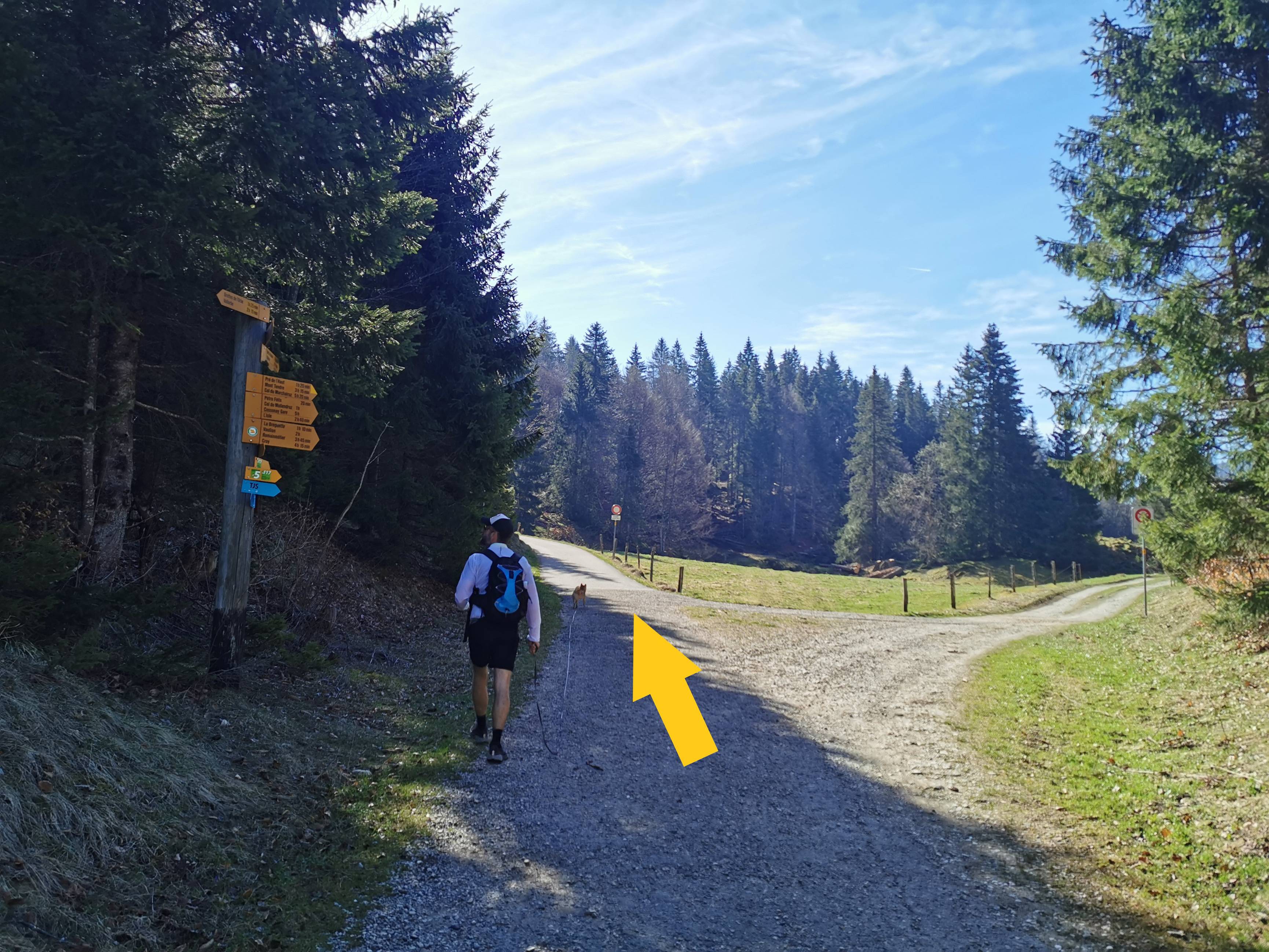
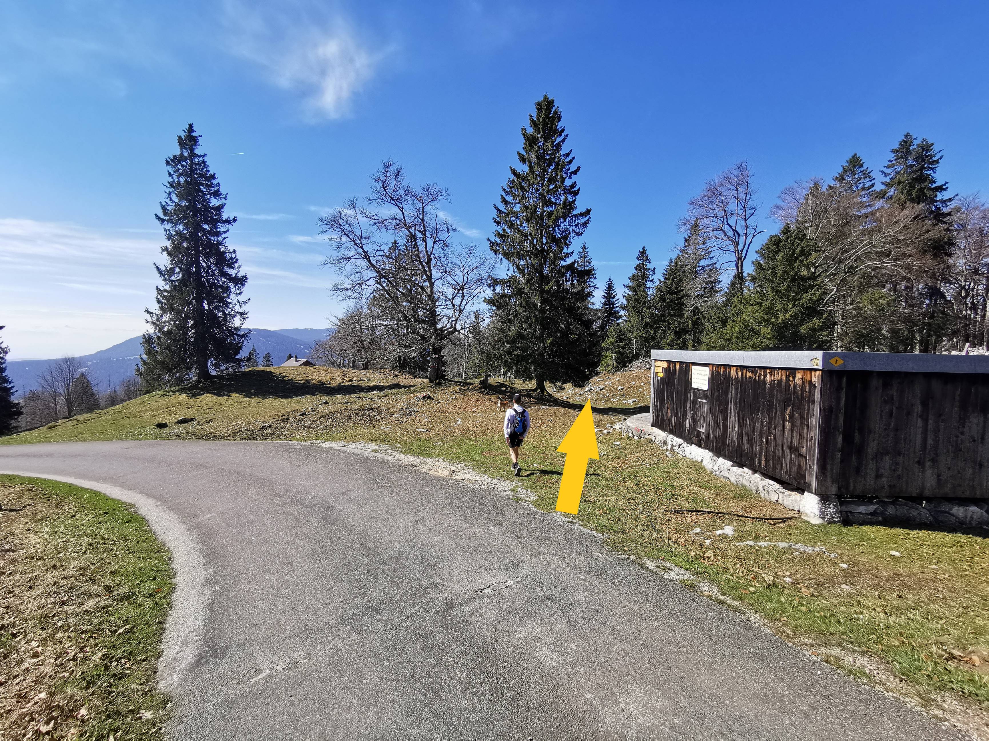
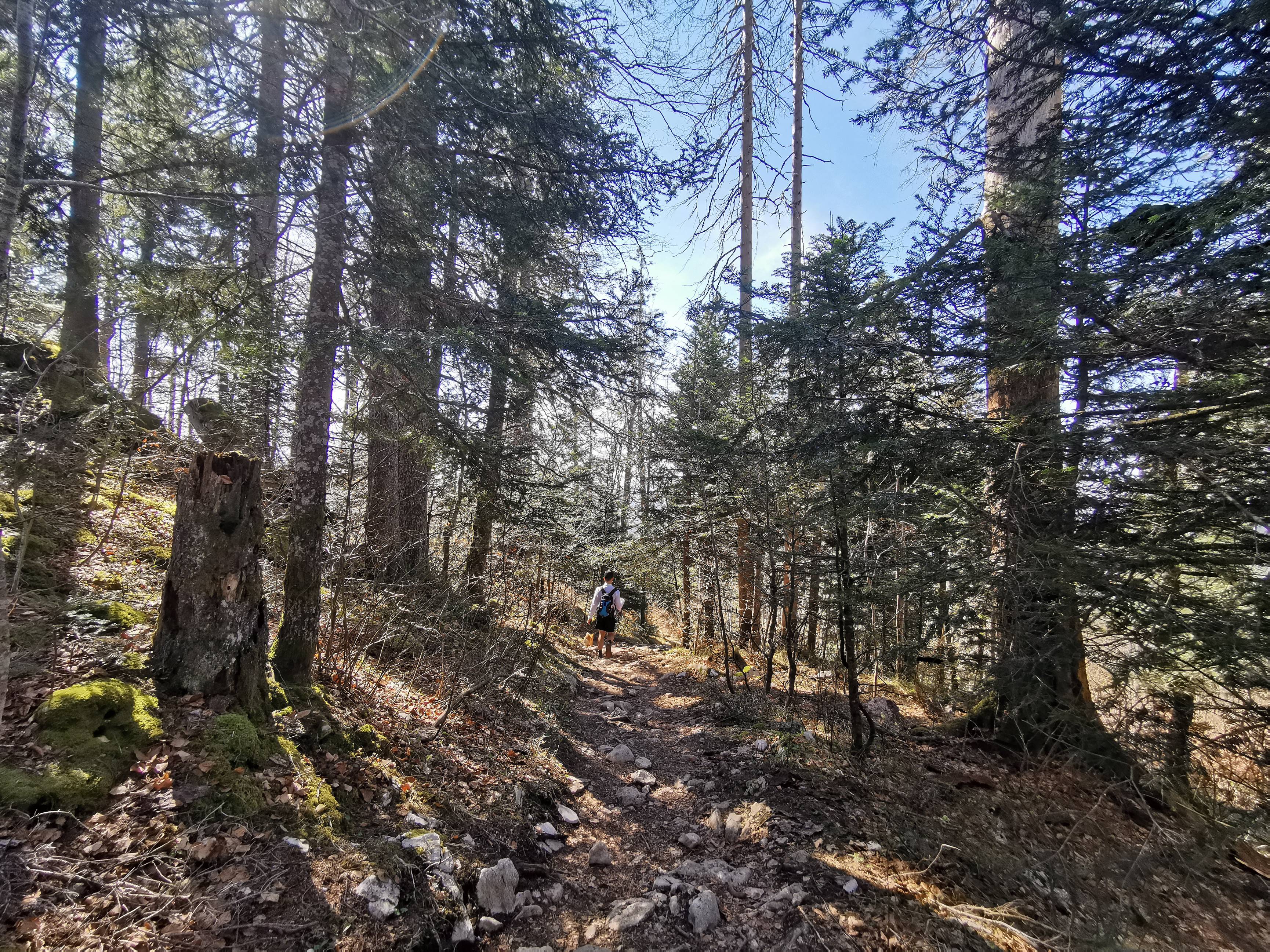
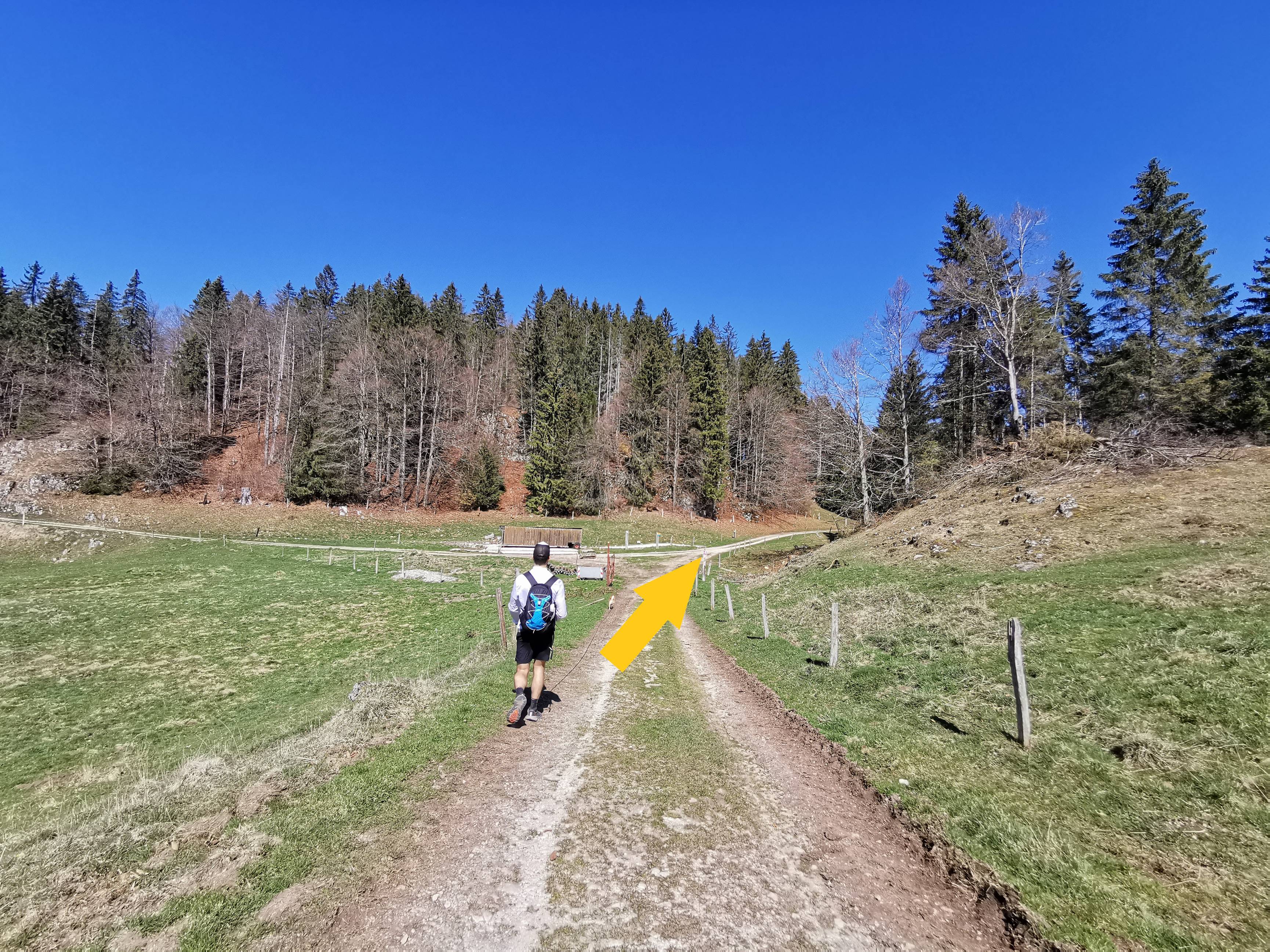
You have just climbed about 500m of elevation gain, well, now it's time for the descent! 😉 To start, turn back to the chalet and continue your way down about 300m more on the asphalt road. On your right, you will find a wooden structure with the yellow sign indicating "Le Pont", continue on this path (photo n°10). From there, you will pass through about 2.3km of forest path (photo n°11) to reach Petra Felix. Be sure to follow the signs indicating the hiking trail (yellow diamond signs or arrows). Once in Petra Felix, turn right (photo n°12). Follow this road for 600m and, at the intersection, turn right (photo n°13). Continue on this way for about 500m to reach a crossroads (photo n°14) that you will certainly recognize because, from there, you will just have to take the same route in the opposite direction to go back to the parking.
-

-
-
-


-
-
-
-


-
-
-
-

-
-
-
-


General info
Itinerary proposed by: Vallée de Joux Tourisme
Member nearby: No
Circular Itinerary: Yes
Duration/length/height: 2h50 / 10.89 km / +522 m -522 m
Best period: April-October
Public transport nearby : Yes
Parking nearby : Yes
Restaurant nearby: Yes
Stroller accessible: No
Picnic area: Yes
Bench: Yes
Didactic panel: Yes
Viewpoint: Yes
Others: This itinerary crosses the Regional Natural Park of the Jura Vaudois.
Info for the dog
Poop bag dispenser: Yes, along the lake
Water (for the dog) on the way: Yes, there is the lake at the beginning
Itinerary with shaded area: Yes but pretty rare
Indication about the dog (signs or notices visible on site): From the moment you enter the forest, there are several times the sign "Obligation to keep on a leash".
Other: There are several times cattle grids on the ground, be careful with your dogs' little paws.
Did you know?
From the 18th to the 20th century the Dent de Vaulion was the scene of a gold rush. Many miners dug cavities but were never rewarded. Following geological research, we know today that the area doesn't contain any gold.
What we particularly liked
The possibility to picnic with a 360° panoramic view at the top of the Dent de Vaulion. There is also the alternative of reducing the length of the hike by starting it from Petra Félix (about 1 hour less).
What we liked least
As the route passes close to or through pastures, we could see that there was sometimes barbed wire on the ground. There are also 2-3 cattle grids on the ground (photo n°15). So be careful with your dogs' paws!