La Crevasse (from Col des Planches)
1927 Vollèges
Valais | Switzerland
Forest
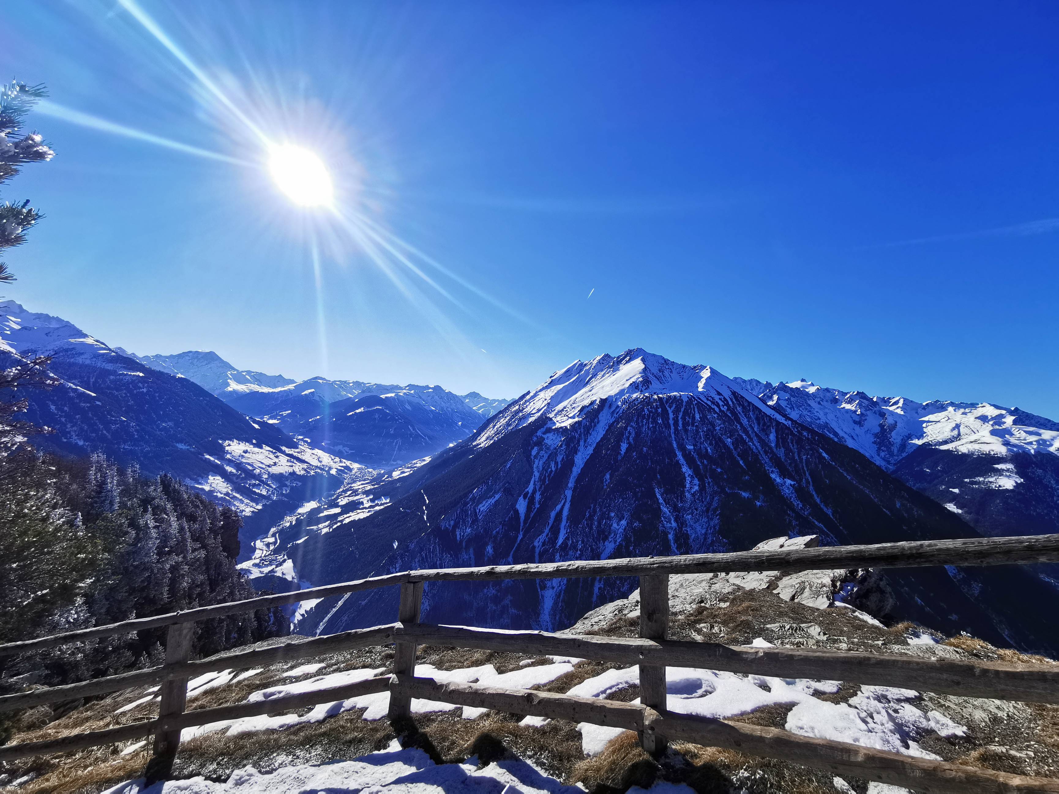
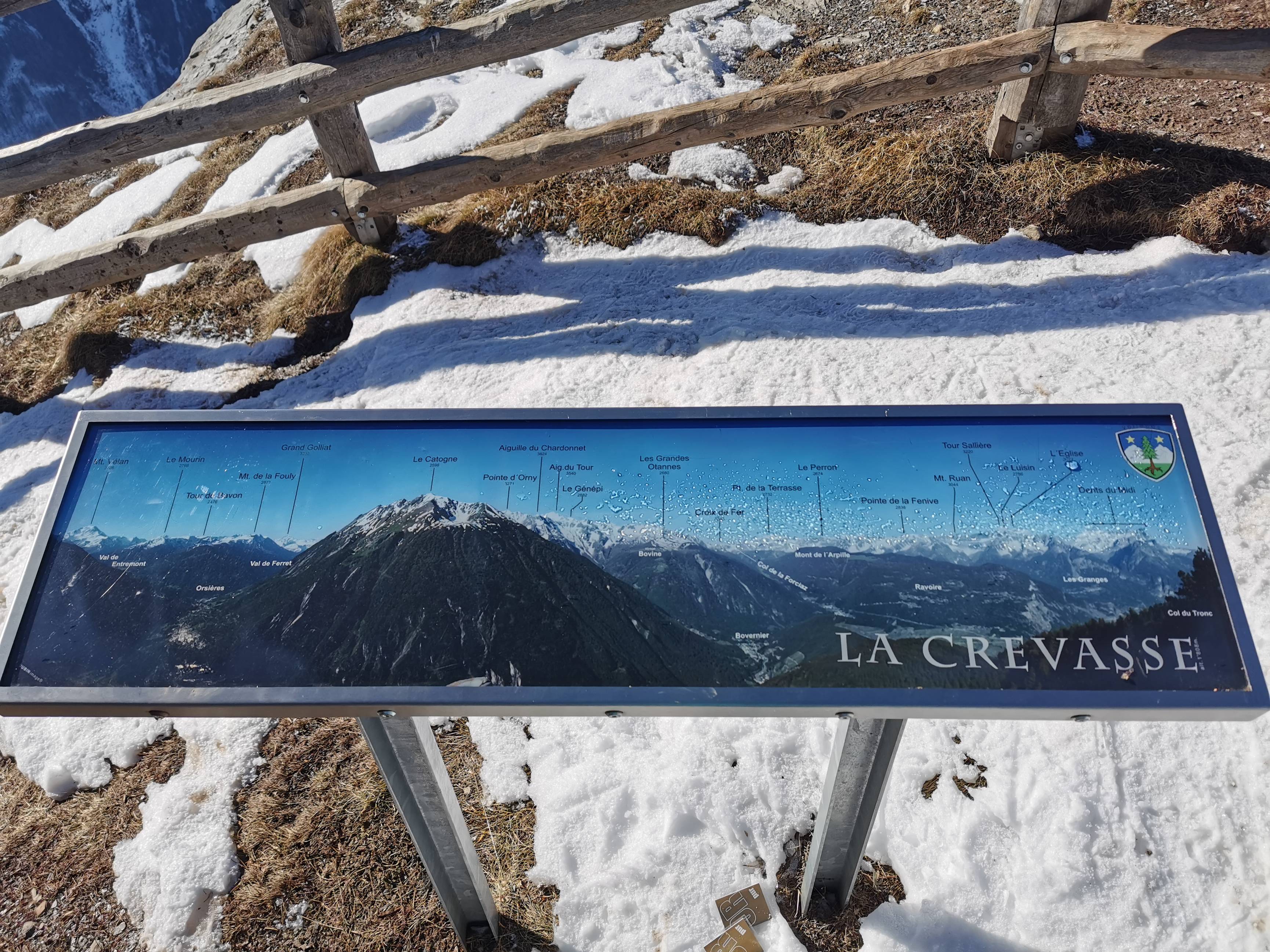
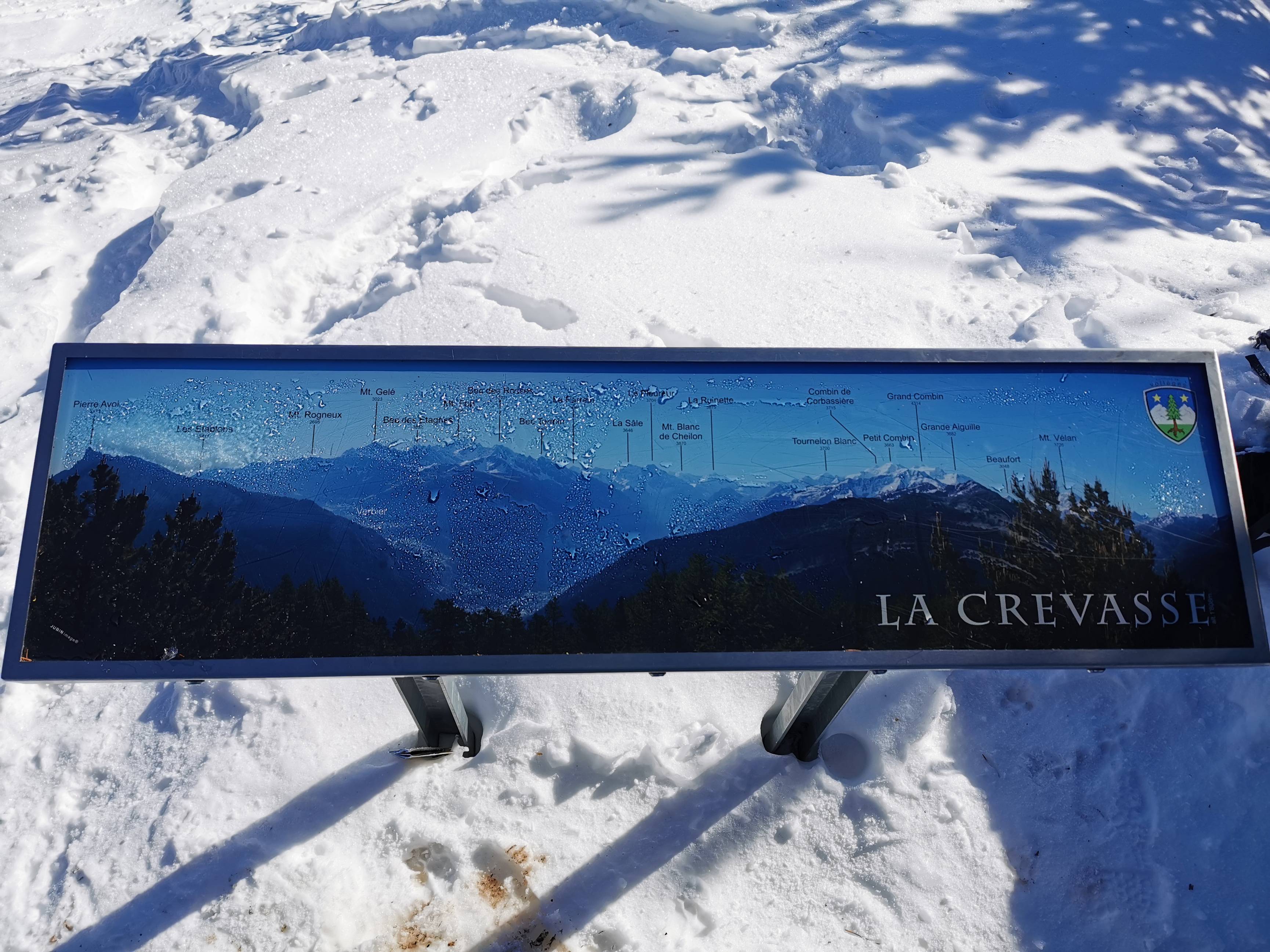
Get your snowshoes on! On this winter walk, we'll take you up to La Crevasse on Mont Chemin mountain, where a spectacular 360° panoramic view awaits you. You'll be able to contemplate the Rhone Valley, as well as well-known peaks such as Catogne, Dents du Midi, Grand Chavalard, Pierre Avoi, Wildhorn and many more.
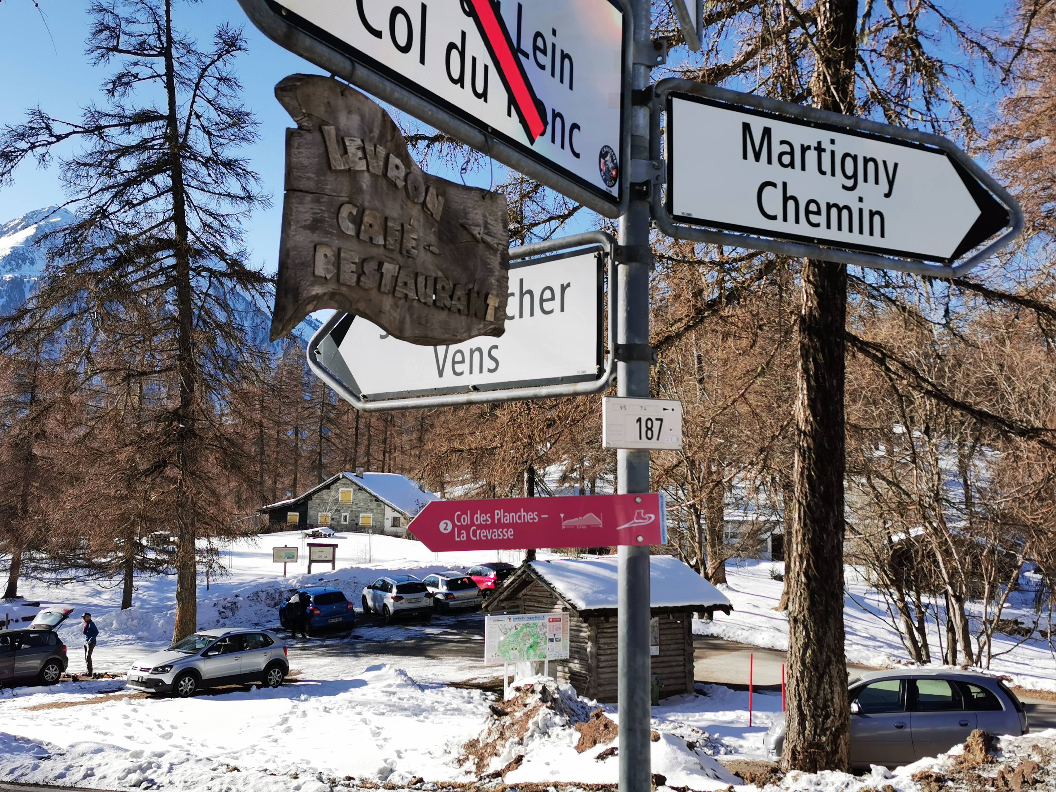
This walk starts from the Col des Planches. Parking is available for free, or you can arrive by bus, as the "Col des Planches" stop is just a few steps from the start of the route.
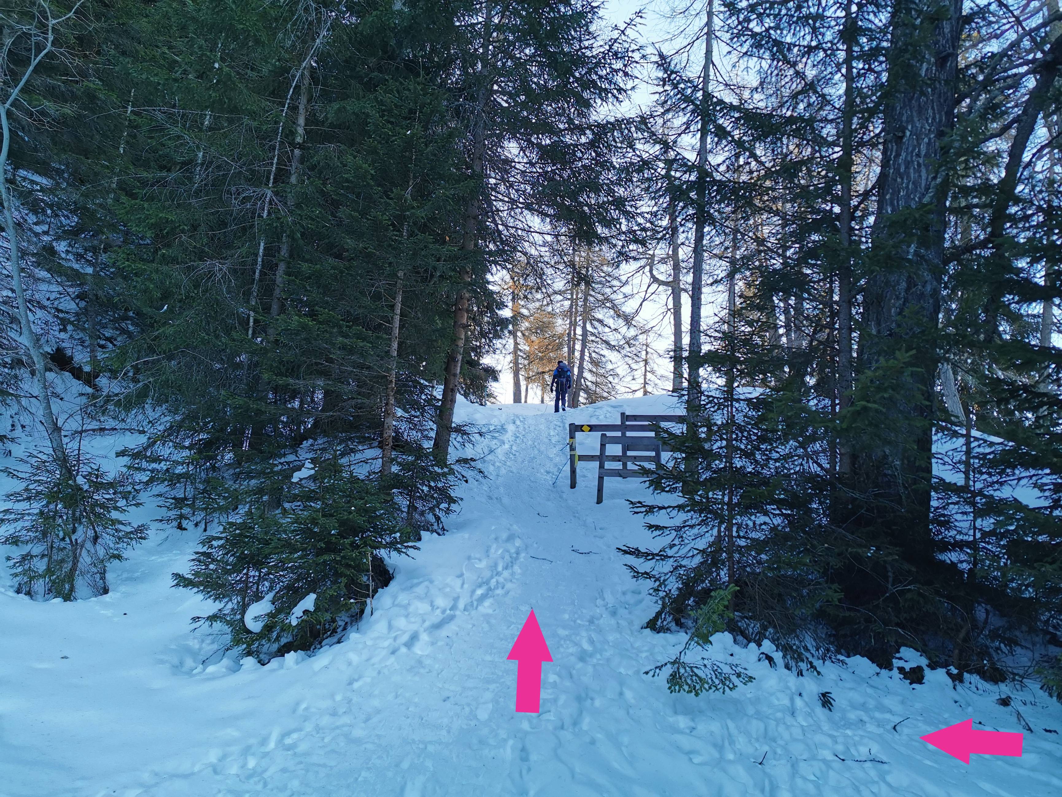
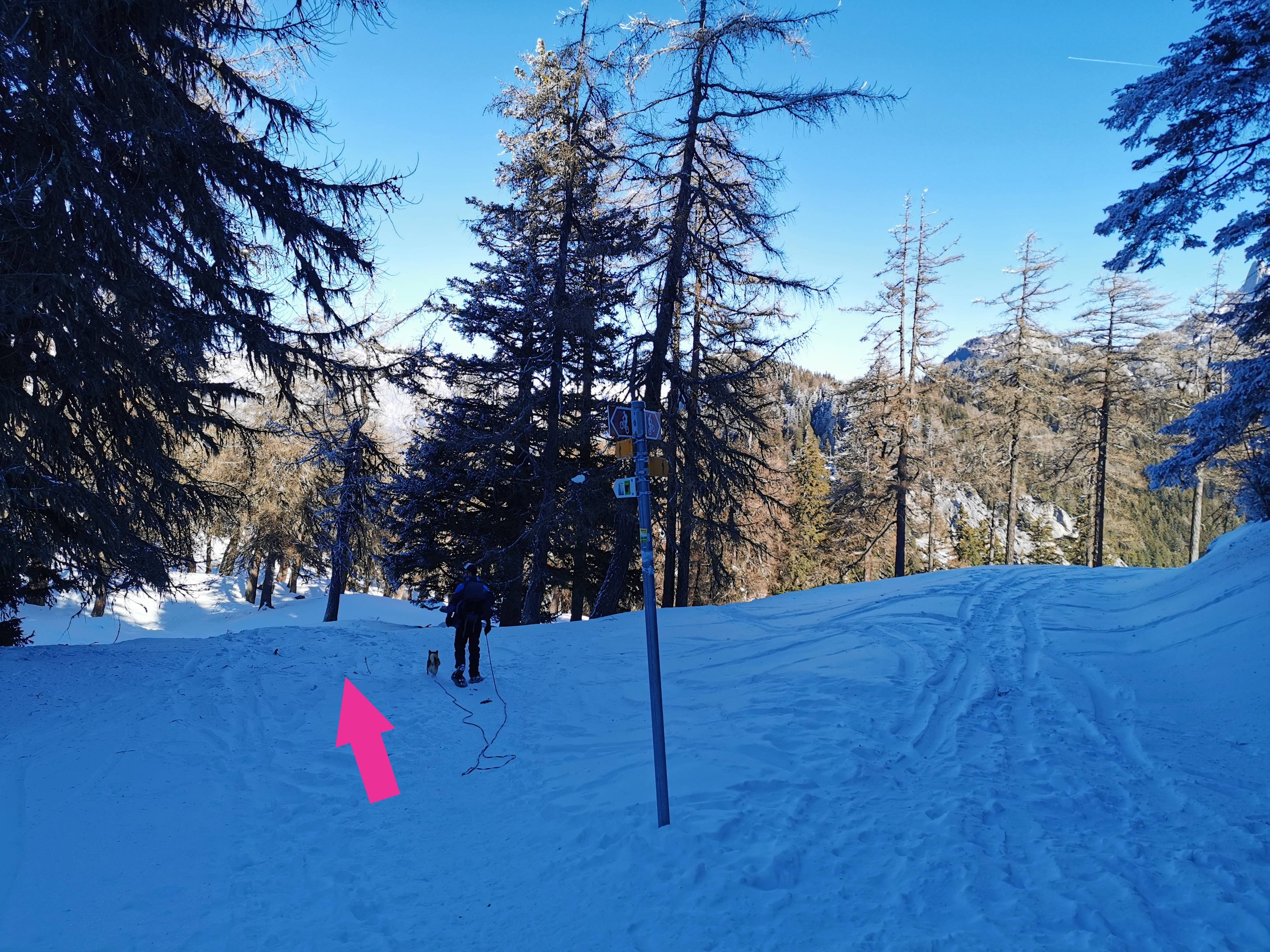
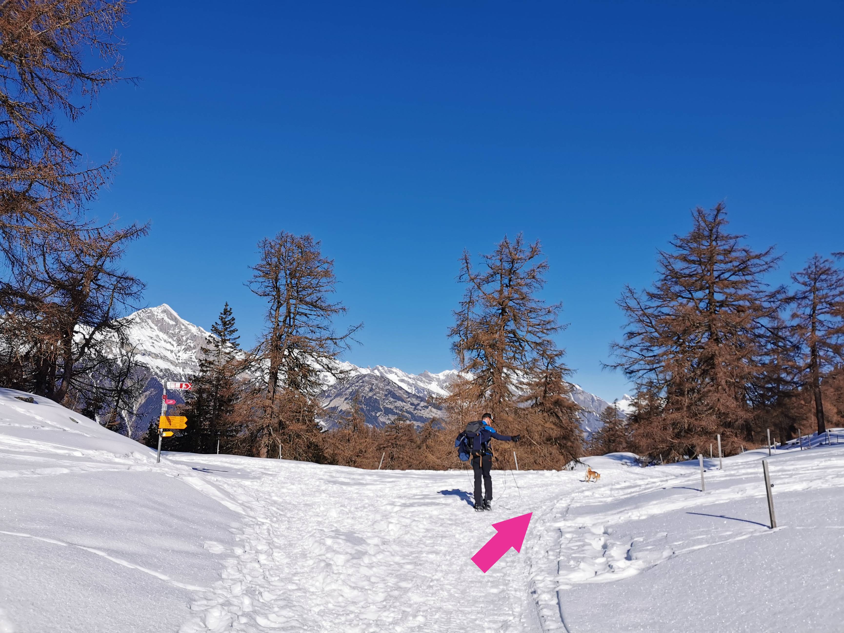
As you leave the parking lot, take the small path up on your right and follow the pink sign "2 Col des Planches-La Crevasse" (photo n° 1). After about 300m, you'll see a yellow sign for "La Crevasse", so keep following this path (photo n° 2). A quick aside to say that normally you're supposed to continue straight on according to the itinerary suggested by the Verbier tourist office. However, we chose to do the route in the opposite direction, simply because, as our knees are a little bit painful on the way down, it was preferable for us to start with the ascent to La Crevasse and then descend via the Col du Tronc, as the slope is softer.
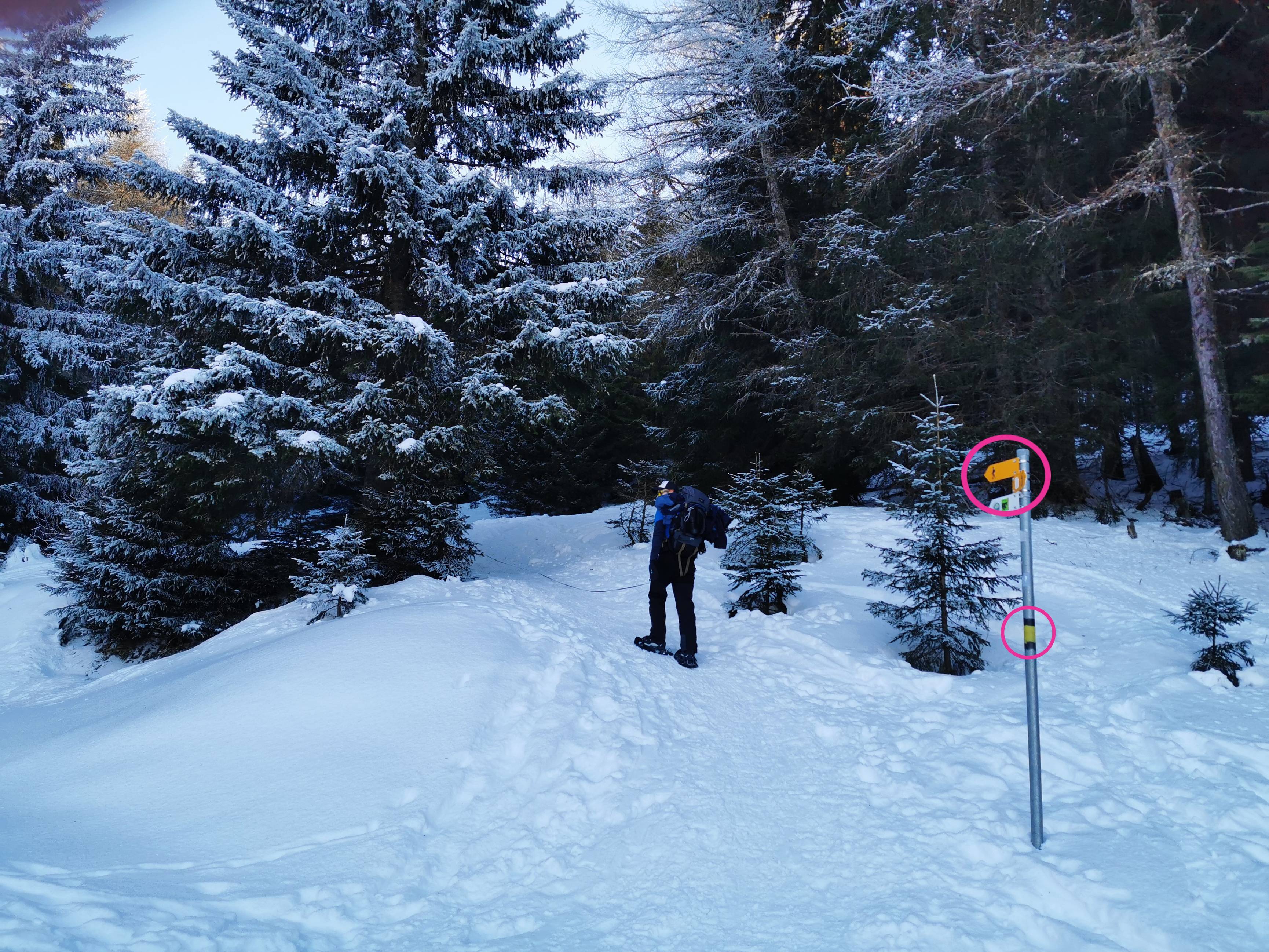
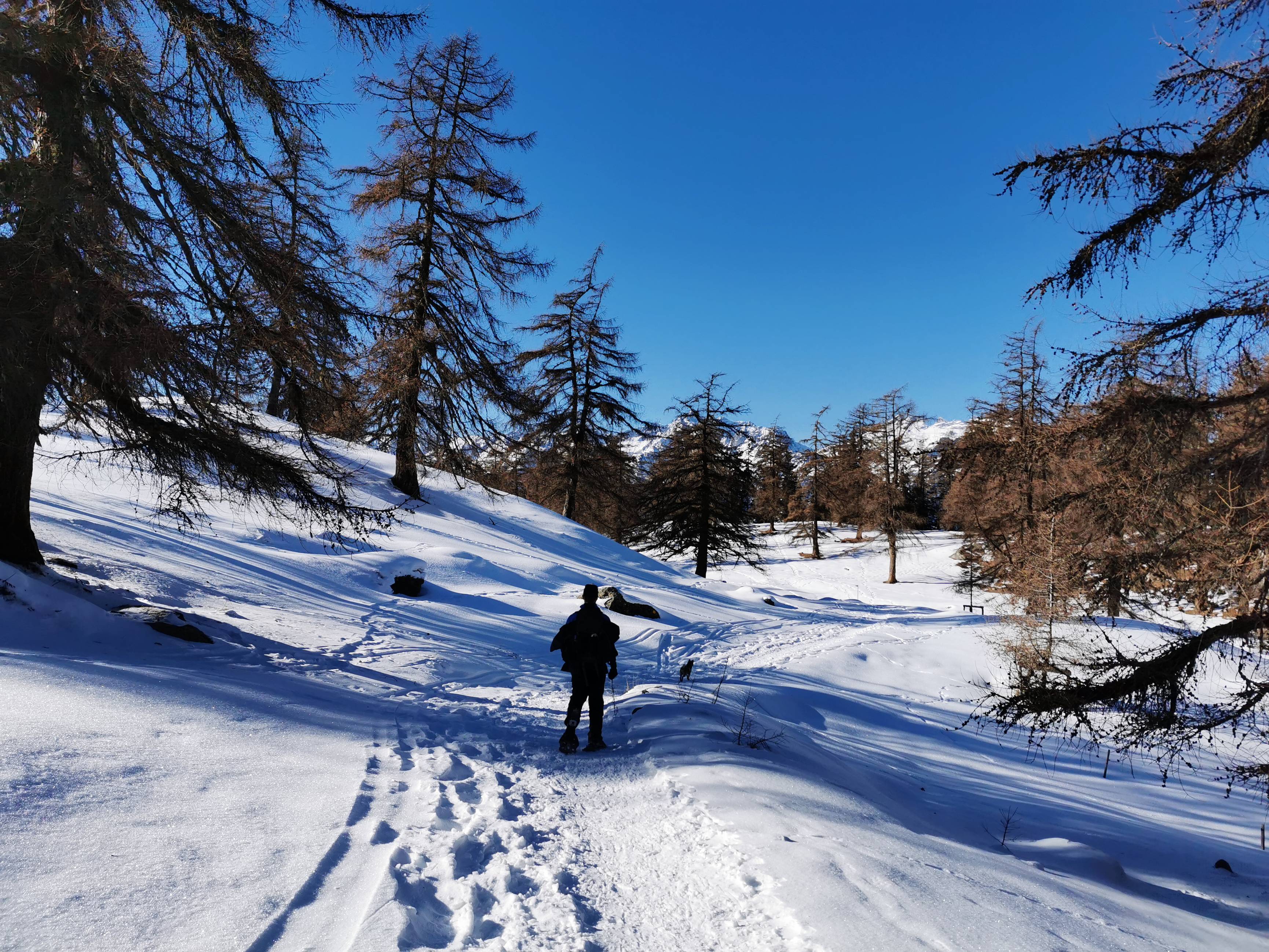
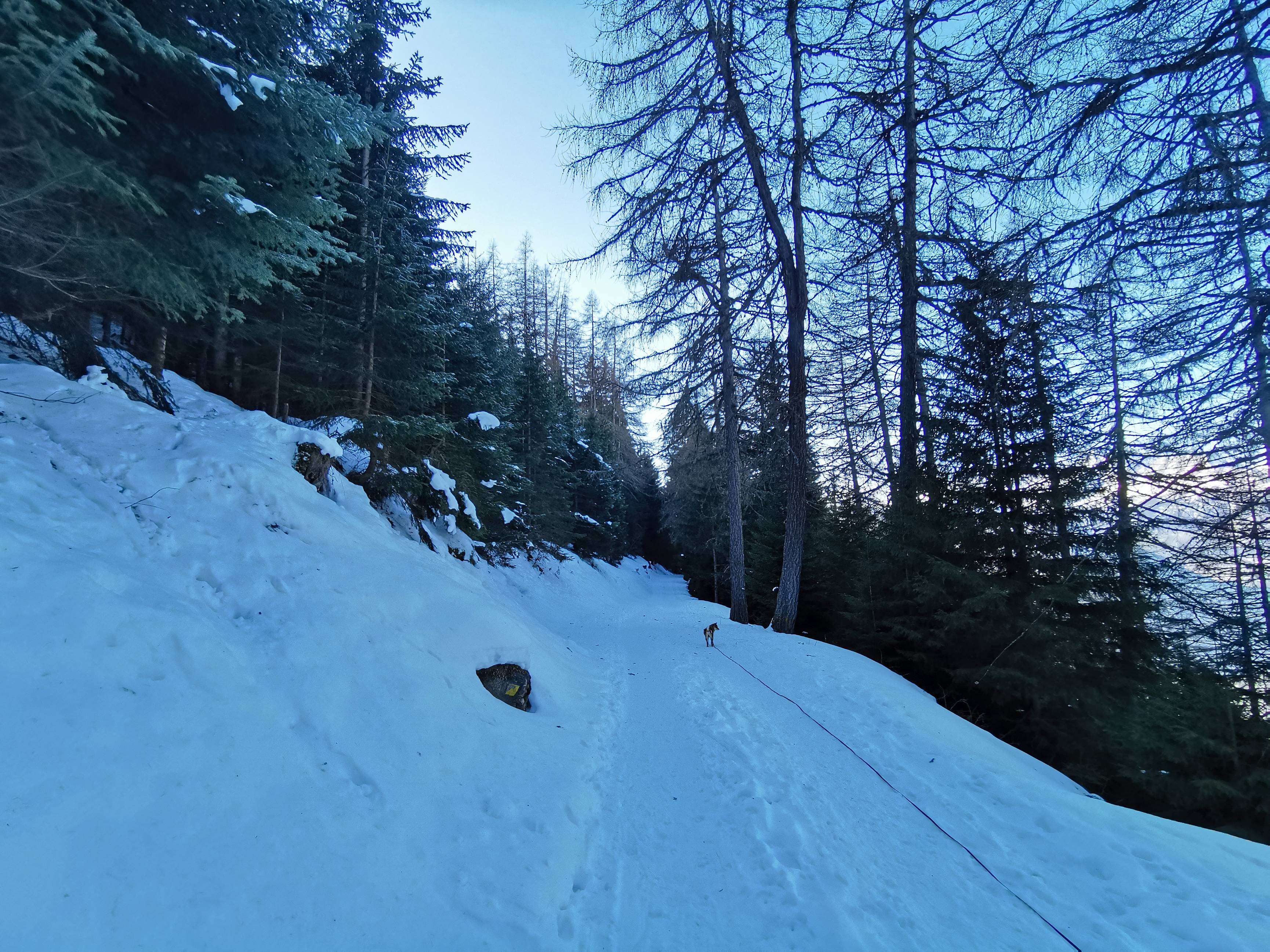
So here we are, off for a 1.30 h uphill climb, with 371 m of elevation gain for 1.66 km. There's nothing very complicated about the itinerary. Just follow the yellow signs (panels or diamonds) indicating the hiking trails (photo n° 3) and, if in doubt, check our SwitzerlandMobility map at the bottom of the page. If you have the paid version (only CHF 35.- per household) of the application, it's very practical, as you have your GPS position in real time.
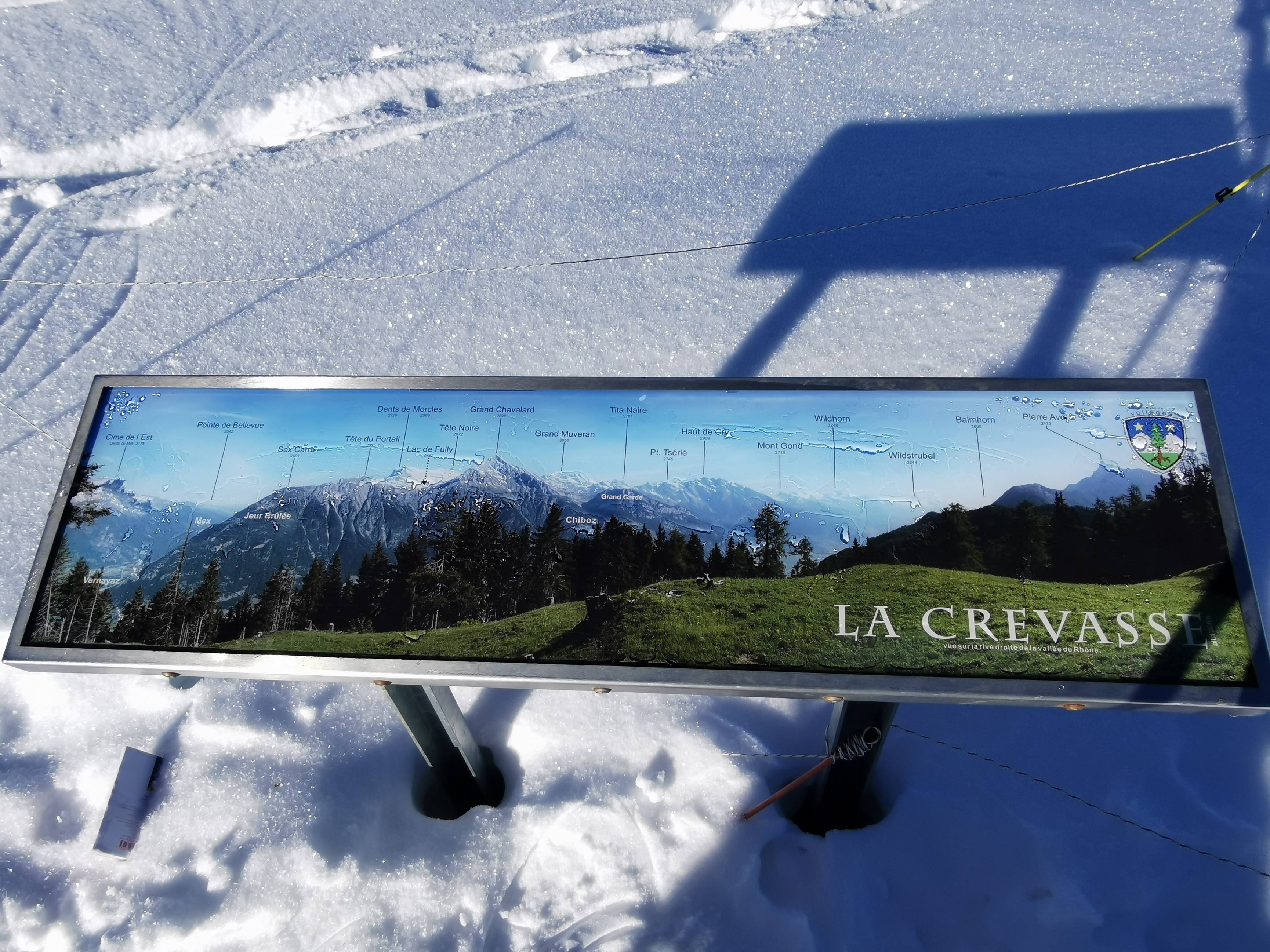
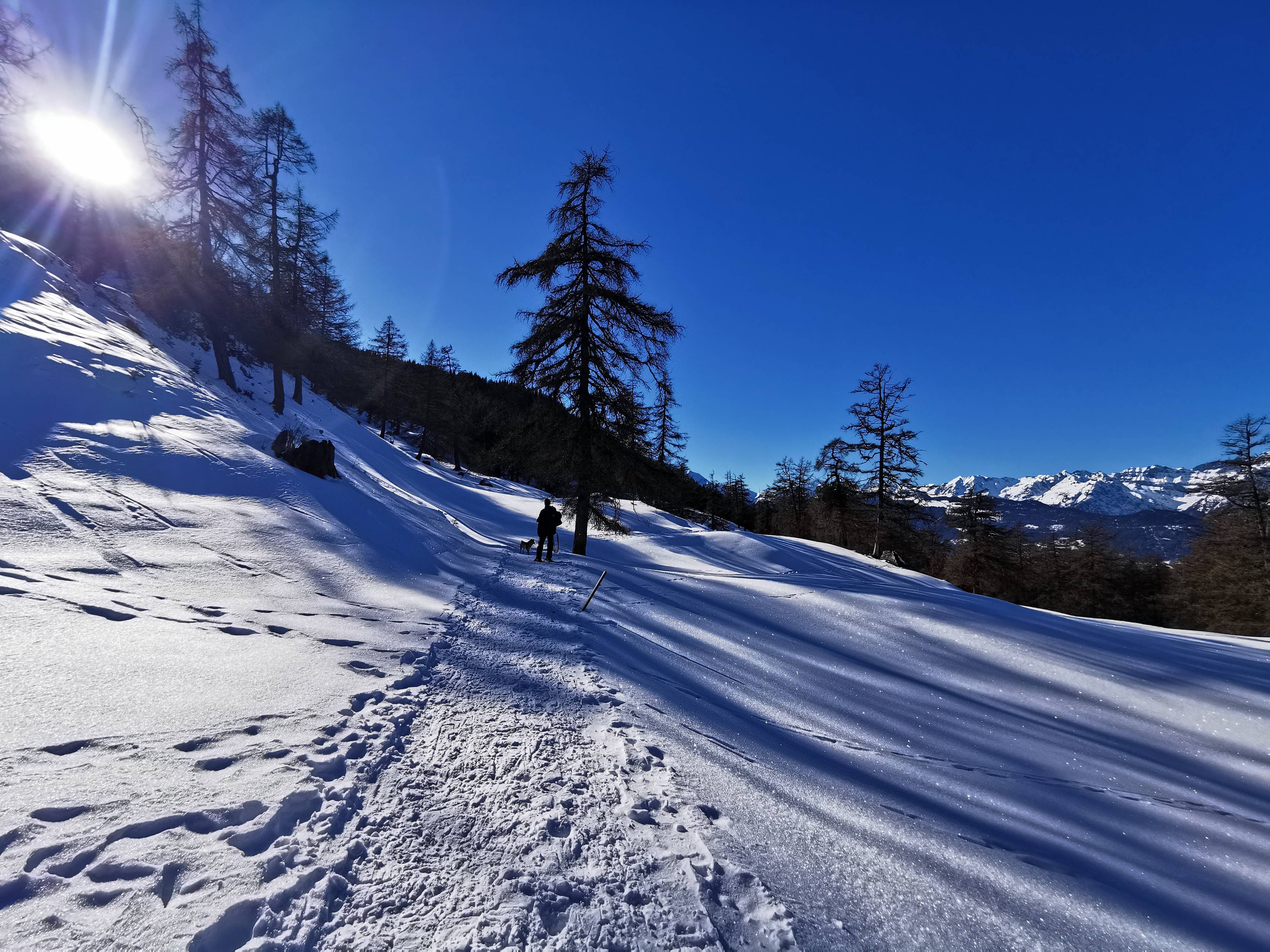
After about 1.3km, you'll come to a first viewpoint, where you can admire the right bank of the Rhône valley (photos n°4-5). Then, 15-20 minutes later, you'll reach the highest point of La Crevasse (photos n° 6-9). If you're lucky, you'll be able to picnic on the only bench on the route, with a fantastic view of the Catogne. 😋
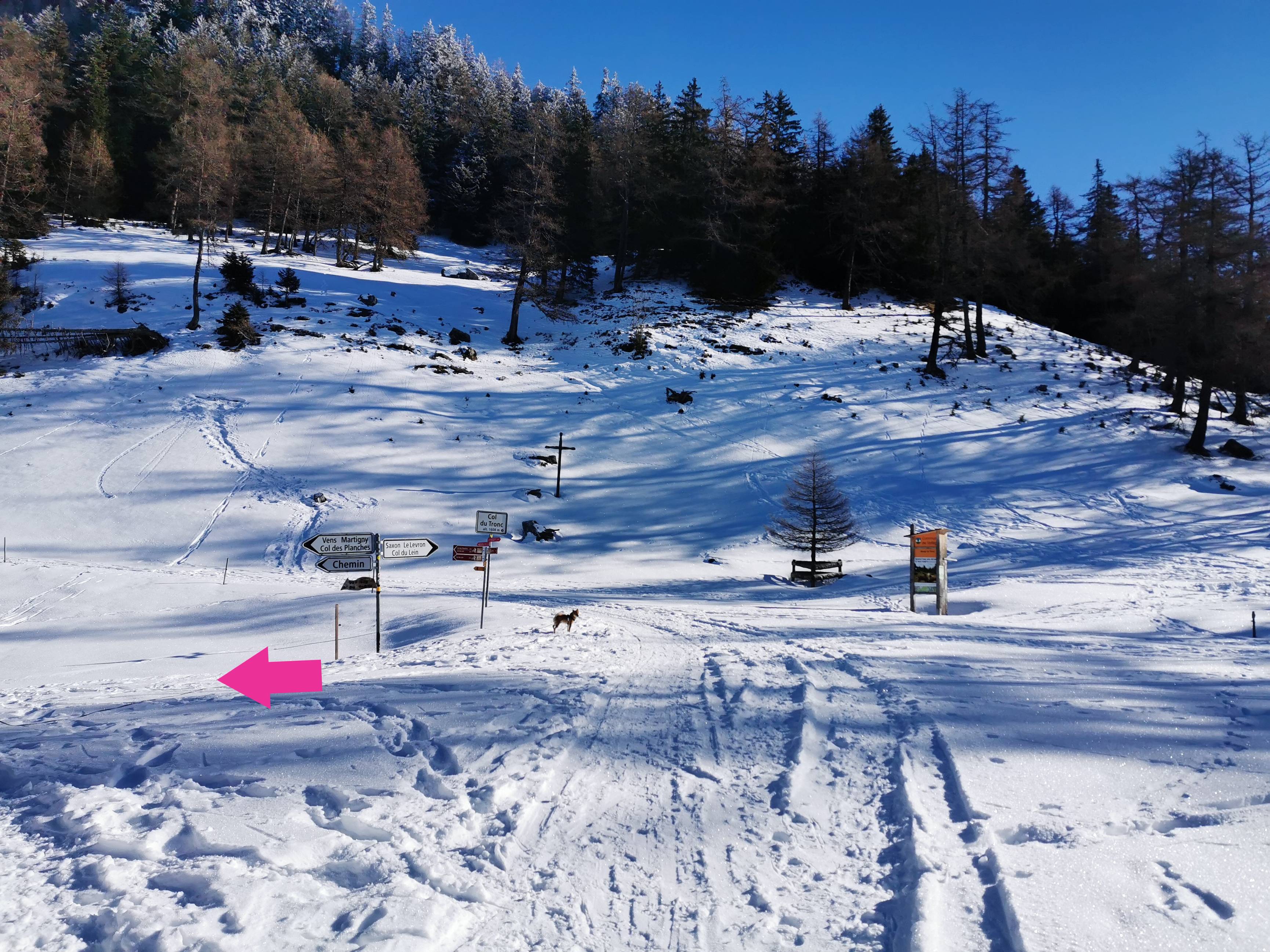
Let's start the descent! After about 500m, there's a crossroads, so take the left-hand path (photo n° 10). 700m further on, you'll reach the Col du Tronc, where you continue on your right (photo n° 11), then, 100m further on, take the 1st path on your left (photo n° 12). From here, follow the signs to Col des Planches. It will take you around 50 minutes to get back to your starting point. Take advantage of the descent to observe the many animal tracks in the snow! 😉
-

-
-
-

-
-
-
-

-
-
-
-

-
-
-
-
General info
Itinerary proposed by: Office du tourisme de Verbier
Member nearby: No
Circular Itinerary: Yes
Duration/length/height: 3h14 / 5.79 km / +410 m -410 m
Best period: Decembre-March
Public transport nearby : Yes
Parking nearby : Yes
Restaurant nearby: No
Stroller accessible: No
Picnic area: No
Bench: Yes, but only one at La Crevasse
Didactic panel: No
Viewpoint: Yes
Others:
Info for the dog
Poop bag dispenser: No
Water (for the dog) on the way: No
Itinerary with shaded area: Yes
Indication about the dog (signs or notices visible on site):
Other: According to Vollèges communal regulations: "In residential areas and when they could frighten people or other animals or cause damage, dogs must be kept on a leash."
Did you know?
Mont Chemin is the oldest mining site in the Valais. The first mines date back to the 6th and 7th centuries. If you're interested in the history of mining, we recommend you follow the "sentier des Mines", which starts at the Col des Planches. It's a didactic loop trail that takes you through 5 galleries in less than two hours. Find out more on https://www.martigny.com/en/activity/mont-chemin-mine-trail-5895/?gt-reset.
What we particularly liked
The view from the top of La Crevasse is really amazing, and the only bench there gives a real challenge: to get there before the others! 😁
What we liked least
Well, that's really to say something... but the route marking could perhaps be improved. We still had to check several times whether we were going in the right direction.